Miraflores
La Libertad
Comas
Requena
Morales
Santa Anita
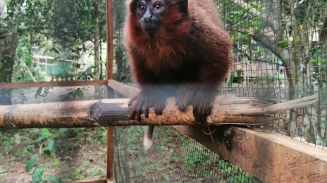
Tambopata
La Victoria
Comas
Tarma
La Oroya
Chachapoyas
Moyobamba
Talara
Tumbes
Tarapoto
Moquegua
Pisco
Huacho
Miraflores
La Libertad
Comas
Requena
Morales
Santa Anita
Tambopata
La Victoria
Comas
Tarma
La Oroya
Chachapoyas
Moyobamba
Talara
Tumbes
Tarapoto
Moquegua
Pisco
Huacho
Puerto Maldonado on the map, Peru
Where is located Puerto Maldonado
Exact location — Puerto Maldonado, Tambopata, Madre de Dios, Peru, marked on the map with a red marker.
Coordinates
Puerto Maldonado, Peru coordinates in decimal format: latitude — -12.5909084, longitude — -69.1963141. When converted to degrees, minutes, seconds Puerto Maldonado has the following coordinates: -12°35′27.27 north latitude and -69°11′46.73 east longitude.
Population
Puerto Maldonado, Tambopata, Madre de Dios, Peru, according to our data the population is — 37,742 residents, which is about 0.1% of the total population of the country (Peru).
Comparison of the population on the graph:
Exact time
Time zone for this location Puerto Maldonado — UTC -5 America/Lima. Exact time — wednesday, 5 may 2024 year, 11 h. 38 minutes.
Sunrise and sunset
Puerto Maldonado, sunrise and sunset data for a date — wednesday 8.05.2024.
| Sunrise | Sunset | Day (duration) |
|---|---|---|
| 05:48 +1 minute | 17:18 -0 minutes | 11 h. 30 minutes. -1 minute |
You can control the scale of the map using the auxiliary tools to find out exactly where it is located Puerto Maldonado. When you change the scale of the map, the width of the ruler also changes (in kilometers and miles).
Nearby cities
The largest cities that are located nearby:
- Cusco — 316 km
- White River
 (Brazil) — 325 km
 - Juliaca — 337 km
- Fist — 370 km
- Arequipa — 490 km
- Ayacucho — 545 km
- Tacna — 609 km
- Cochabamba
 (Bolivia) — 619 km
 - Oruro (Bolivia) — 633 km
- Huancayo — 653 km
- Arica
 (Chile) — 661 km
 - Porto Velho (Brazil) — 717 km
- Ica — 720 km
- Pucallpa — 750 km
- Chincha Alta — 752 km
- Sucre (Bolivia) — 821 km
- Huanuco — 822 km
- Iquique (Chile) — 849 km
- Lima — 851 km
Distance to neighboring capitals:
- Nuestra Señora de La Paz (Bolivia) — 449 km
- Quito
 (Ecuador) — 1718 km
 - Asuncion
 (Paraguay) — 1864 km
 - Bogota
 (Colombia) — 1986 km
 - Santiago (Chile) — 2323 km
- Caracas
 (Venezuela) — 2582 km
 - Buenos Aires
 (Argentina) — 2681 km
 - Montevideo
 (Uruguay) — 2807 km