
 Maureville
Samoëns
Gréning
Toulouse
Volx
Goudet
Méhoncourt
Saint-Hymer
Pontcarré
Maureville
Samoëns
Gréning
Toulouse
Volx
Goudet
Méhoncourt
Saint-Hymer
Pontcarré
Domaine National du Palais-Royal on the map, Paris, France
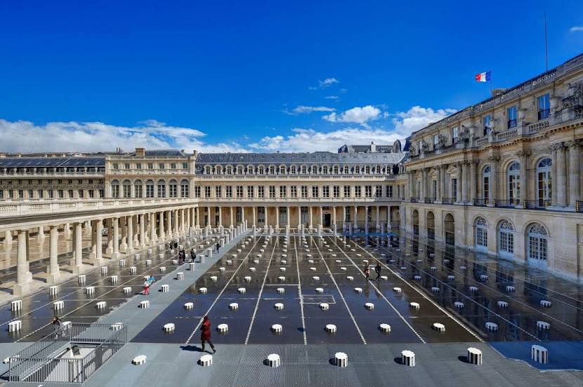
Photo
Where is located Domaine National du Palais-Royal
Domaine National du Palais-Royal — local attraction, which is located at 8 Rue de Montpensier, 75001 Paris, France and belongs to the category — palace. Average visitor rating for this place — 4.6 (according to 13657 ratings, information from open sources and relevant for 2022).
Exact location — Domaine National du Palais-Royal, marked on the map with a red marker.
You can get directions to Domaine National du Palais-Royal on the map from your location.
What else is interesting in Paris? You can see all the sights if you go to the city page.
Coordinates
Domaine National du Palais-Royal, France coordinates in decimal format: latitude — 48.86372158935627, longitude — 2.3370617251294044. When converted to degrees, minutes, seconds Domaine National du Palais-Royal has the following coordinates: 48°51′49.4 north latitude and 2°20′13.42 east longitude.
Nearby cities
The largest cities that are located nearby:
- Boulogne-Billancourt — 8 km
- Orléans — 110 km
- Rouen — 111 km
- Amiens — 115 km
- Reims — 129 km
- Le Havre — 176 km
- Le Mans — 185 km
- Caen — 200 km
- Lille — 202 km
- Tours — 204 km
- Charleroi
 (Belgium) — 226 km
 - Namur (Belgium) — 251 km
- Eastbourne
 (United Kingdom) — 256 km
 - Brussels (Belgium) — 261 km
- Dijon — 263 km
- Angers — 266 km
- Metz — 278 km
- Nancy — 280 km
- Antwerp (Belgium) — 297 km