
 Maureville
Samoëns
Gréning
Toulouse
Volx
Goudet
Méhoncourt
Saint-Hymer
Pontcarré
Maureville
Samoëns
Gréning
Toulouse
Volx
Goudet
Méhoncourt
Saint-Hymer
Pontcarré
Parc des Buttes-Chaumont on the map, Paris, France
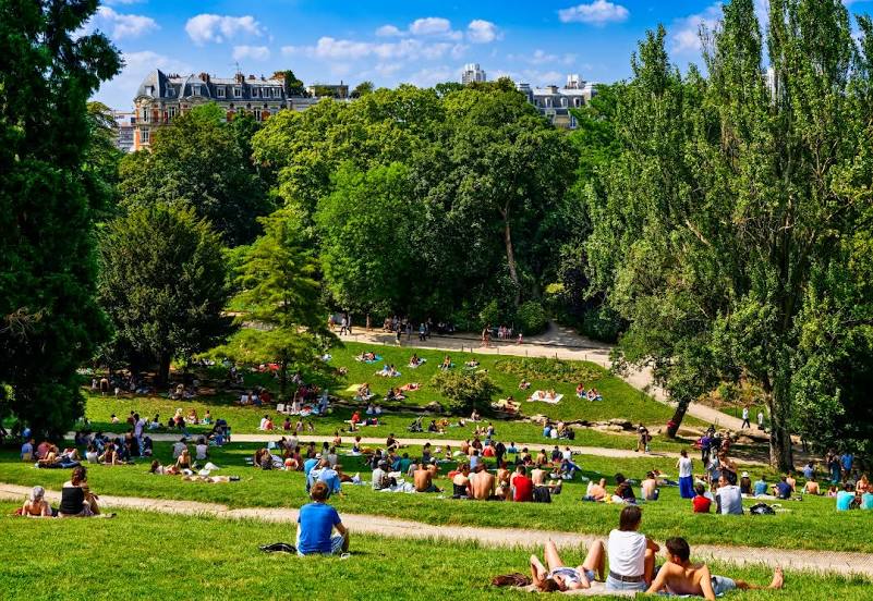
Photo
Where is located Parc des Buttes-Chaumont
Parc des Buttes-Chaumont — local attraction, which is located at 1 Rue Botzaris, 75019 Paris, France and belongs to the category — park. Average visitor rating for this place — 4.6 (according to 20302 ratings, information from open sources and relevant for 2022).
Exact location — Parc des Buttes-Chaumont, marked on the map with a red marker.
You can get directions to Parc des Buttes-Chaumont on the map from your location.
What else is interesting in Paris? You can see all the sights if you go to the city page.
Coordinates
Parc des Buttes-Chaumont, France coordinates in decimal format: latitude — 48.880671001395854, longitude — 2.3825406021612143. When converted to degrees, minutes, seconds Parc des Buttes-Chaumont has the following coordinates: 48°52′50.42 north latitude and 2°22′57.15 east longitude.
Nearby cities
The largest cities that are located nearby:
- Boulogne-Billancourt — 8 km
- Orléans — 110 km
- Rouen — 111 km
- Amiens — 115 km
- Reims — 129 km
- Le Havre — 176 km
- Le Mans — 185 km
- Caen — 200 km
- Lille — 202 km
- Tours — 204 km
- Charleroi
 (Belgium) — 226 km
 - Namur (Belgium) — 251 km
- Eastbourne
 (United Kingdom) — 256 km
 - Brussels (Belgium) — 261 km
- Dijon — 263 km
- Angers — 266 km
- Metz — 278 km
- Nancy — 280 km
- Antwerp (Belgium) — 297 km