
 Maureville
Samoëns
Gréning
Toulouse
Volx
Goudet
Méhoncourt
Saint-Hymer
Pontcarré
Maureville
Samoëns
Gréning
Toulouse
Volx
Goudet
Méhoncourt
Saint-Hymer
Pontcarré
Forêt domaniale de Meudon on the map, Issy-les-Moulineaux, France
Photo
Where is located Forêt domaniale de Meudon
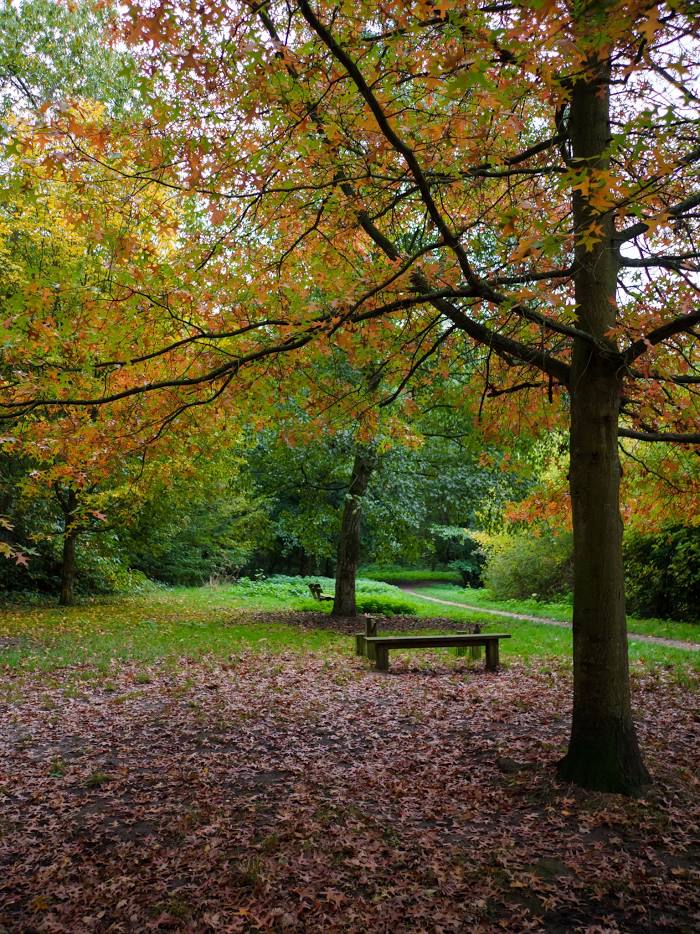
Forêt domaniale de Meudon — local attraction, which is located at France and belongs to the category — national forest. Average visitor rating for this place — 4.4 (according to 4356 ratings, information from open sources and relevant for 2022).
Exact location — Forêt domaniale de Meudon, marked on the map with a red marker.
You can get directions to Forêt domaniale de Meudon on the map from your location.
What else is interesting in Issy-les-Moulineaux? You can see all the sights if you go to the city page.
Coordinates
Forêt domaniale de Meudon, France coordinates in decimal format: latitude — 48.808795880163714, longitude — 2.222645708791246. When converted to degrees, minutes, seconds Forêt domaniale de Meudon has the following coordinates: 48°48′31.67 north latitude and 2°13′21.52 east longitude.
Nearby cities
The largest cities that are located nearby:
- Boulogne-Billancourt — 3 km
- Orléans — 105 km
- Rouen — 109 km
- Amiens — 118 km
- Reims — 136 km
- Le Havre — 172 km
- Le Mans — 178 km
- Caen — 195 km
- Tours — 198 km
- Lille — 207 km
- Charleroi
 (Belgium) — 233 km
 - Eastbourne
 (United Kingdom) — 256 km
 - Namur (Belgium) — 258 km
- Angers — 259 km
- Dijon — 266 km
- Brussels (Belgium) — 267 km
- Metz — 284 km
- Nancy — 286 km
- Rennes — 302 km
Distance to the capital
Distance to the capital (Paris) is about — 11 km.