
 Maureville
Samoëns
Gréning
Toulouse
Volx
Goudet
Méhoncourt
Saint-Hymer
Pontcarré
Maureville
Samoëns
Gréning
Toulouse
Volx
Goudet
Méhoncourt
Saint-Hymer
Pontcarré
Place de la Concorde on the map, Puteaux, France
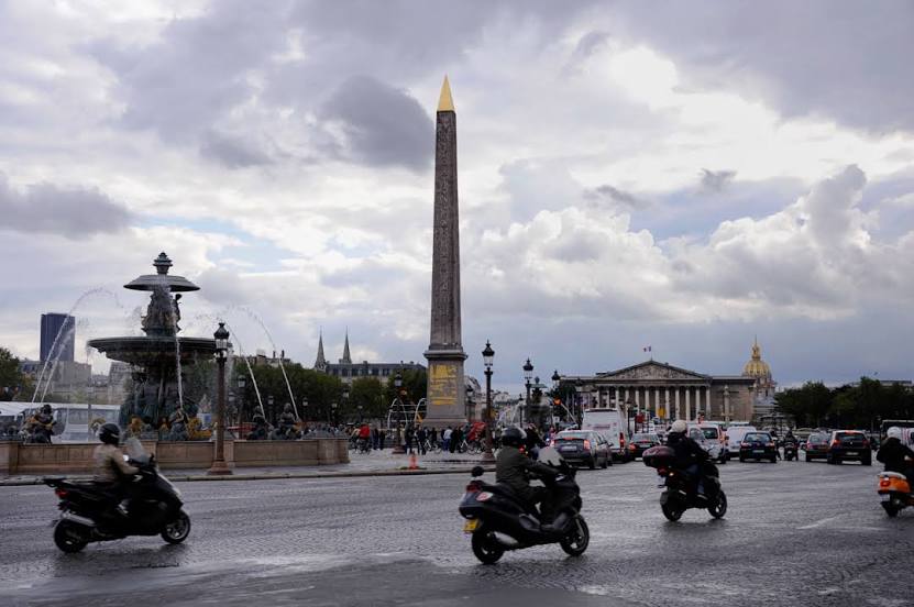
Photo
Where is located Place de la Concorde
Place de la Concorde — local attraction, which is located at 75008 Paris, France and belongs to the category — plaza. Average visitor rating for this place — 4.5 (according to 46793 ratings, information from open sources and relevant for 2022).
Exact location — Place de la Concorde, marked on the map with a red marker.
You can get directions to Place de la Concorde on the map from your location.
What else is interesting in Puteaux? You can see all the sights if you go to the city page.
Coordinates
Place de la Concorde, France coordinates in decimal format: latitude — 48.86559779067944, longitude — 2.321171325129499. When converted to degrees, minutes, seconds Place de la Concorde has the following coordinates: 48°51′56.15 north latitude and 2°19′16.22 east longitude.
Nearby cities
The largest cities that are located nearby:
- Boulogne-Billancourt — 5 km
- Rouen — 103 km
- Orléans — 111 km
- Amiens — 112 km
- Reims — 136 km
- Le Havre — 167 km
- Le Mans — 179 km
- Caen — 192 km
- Lille — 201 km
- Tours — 202 km
- Charleroi
 (Belgium) — 229 km
 - Eastbourne
 (United Kingdom) — 249 km
 - Namur (Belgium) — 255 km
- Angers — 261 km
- Brussels (Belgium) — 263 km
- Dijon — 272 km
- Metz — 286 km
- Nancy — 289 km
- Crawley (United Kingdom) — 298 km
Distance to the capital
Distance to the capital (Paris) is about — 2 km.