
 Maureville
Samoëns
Gréning
Toulouse
Volx
Goudet
Méhoncourt
Saint-Hymer
Pontcarré
Maureville
Samoëns
Gréning
Toulouse
Volx
Goudet
Méhoncourt
Saint-Hymer
Pontcarré
Coulée Verte René-Dumont on the map, Puteaux, France
Photo
Where is located Coulée Verte René-Dumont
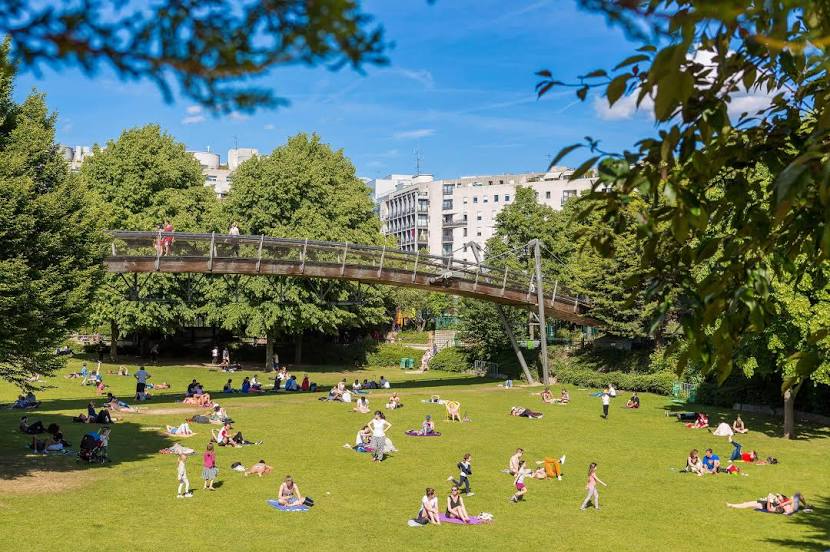
Coulée Verte René-Dumont — local attraction, which is located at 1 Coulée Verte René-Dumont, 75012 Paris, France and belongs to the category — park. Average visitor rating for this place — 4.5 (according to 3771 rating, information from open sources and relevant for 2022).
Exact location — Coulée Verte René-Dumont, marked on the map with a red marker.
You can get directions to Coulée Verte René-Dumont on the map from your location.
What else is interesting in Puteaux? You can see all the sights if you go to the city page.
Coordinates
Coulée Verte René-Dumont, France coordinates in decimal format: latitude — 48.84941407926705, longitude — 2.371422725128909. When converted to degrees, minutes, seconds Coulée Verte René-Dumont has the following coordinates: 48°50′57.89 north latitude and 2°22′17.12 east longitude.
Nearby cities
The largest cities that are located nearby:
- Boulogne-Billancourt — 5 km
- Rouen — 103 km
- Orléans — 111 km
- Amiens — 112 km
- Reims — 136 km
- Le Havre — 167 km
- Le Mans — 179 km
- Caen — 192 km
- Lille — 201 km
- Tours — 202 km
- Charleroi
 (Belgium) — 229 km
 - Eastbourne
 (United Kingdom) — 249 km
 - Namur (Belgium) — 255 km
- Angers — 261 km
- Brussels (Belgium) — 263 km
- Dijon — 272 km
- Metz — 286 km
- Nancy — 289 km
- Crawley (United Kingdom) — 298 km
Distance to the capital
Distance to the capital (Paris) is about — 2 km.