
 Maureville
Samoëns
Gréning
Toulouse
Volx
Goudet
Méhoncourt
Saint-Hymer
Pontcarré
Maureville
Samoëns
Gréning
Toulouse
Volx
Goudet
Méhoncourt
Saint-Hymer
Pontcarré
Forêt domaniale de Meudon on the map, Malakoff, France
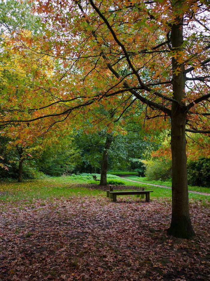
Photo
Where is located Forêt domaniale de Meudon
Forêt domaniale de Meudon — local attraction, which is located at France and belongs to the category — national forest. Average visitor rating for this place — 4.4 (according to 4357 ratings, information from open sources and relevant for 2022).
Exact location — Forêt domaniale de Meudon, marked on the map with a red marker.
You can get directions to Forêt domaniale de Meudon on the map from your location.
What else is interesting in Malakoff? You can see all the sights if you go to the city page.
Coordinates
Forêt domaniale de Meudon, France coordinates in decimal format: latitude — 48.80163456800648, longitude — 2.231015958525663. When converted to degrees, minutes, seconds Forêt domaniale de Meudon has the following coordinates: 48°48′5.88 north latitude and 2°13′51.66 east longitude.
Nearby cities
The largest cities that are located nearby:
- Boulogne-Billancourt — 5 km
- Orléans — 105 km
- Rouen — 110 km
- Amiens — 119 km
- Reims — 134 km
- Le Havre — 174 km
- Le Mans — 179 km
- Caen — 197 km
- Tours — 198 km
- Lille — 207 km
- Charleroi
 (Belgium) — 232 km
 - Namur (Belgium) — 257 km
- Eastbourne
 (United Kingdom) — 257 km
 - Angers — 260 km
- Dijon — 264 km
- Brussels (Belgium) — 267 km
- Metz — 283 km
- Nancy — 284 km
- Antwerp (Belgium) — 303 km
Distance to the capital
Distance to the capital (Paris) is about — 11 km.