Cambridge — Okemah
Cambridge — Boyd
Cambridge — Hauula
Cambridge — Gem
Cambridge — Glastonbury
Cambridge — Las Animas
Cambridge — Sedan
Cambridge — Benedict
Cambridge — Kingsland
Cambridge — Lompoc
Cambridge — Mesick
Cambridge — Bonanza
Cambridge — Carnelian Bay
Cambridge — Midland County
Cambridge — Clifford
Cambridge — Hayward
Cambridge — Milam
Cambridge — Chapmanville
Cambridge — Elkland
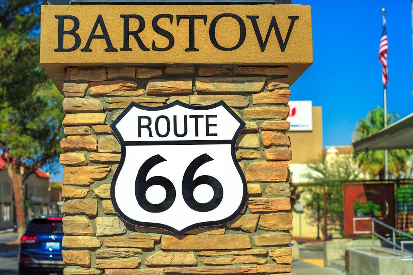
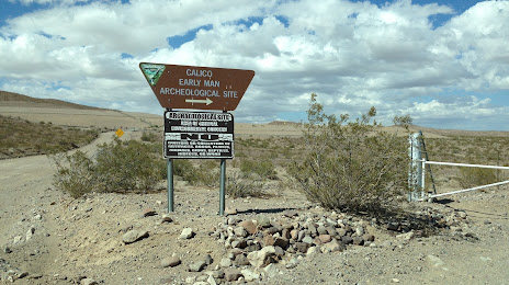
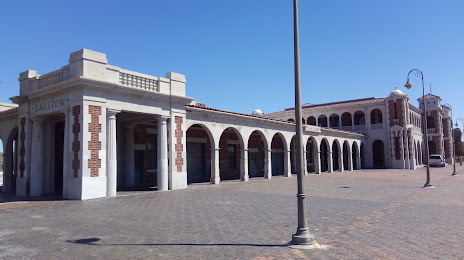
Cambridge — Barstow distance, route on the map
Distance by car
Distance between Cambridge, Massachusetts, United States and Barstow, California, United States by car is — km, or miles. To travel this distance by car, you need minute, or h.
Route on the map, driving directions
Car route Cambridge — Barstow was created automatically. The road on the map is shown as a blue line. By moving the markers, you can create a new route through the points you need.
Distance by plane
If you decide to take a trip Cambridge Barstow by plane, then you have to fly the distance — 4024 km or 2495 miles. It is marked on the map with a gray line (between two points in a straight line).
Flight time
Estimated flight time Cambridge Barstow by plane at cruising speed 750 km / h will be — 5 h. and 21 min.
Direction of movement
United States, Cambridge — right-hand traffic. United States, Barstow — right-hand traffic.
Difference in time
Cambridge and Barstow are in different time zones. The time difference is 3 hours (UTC -4 America/New_York, UTC -7 America/Los_Angeles).
Interesting Facts
Information on alternative ways to get to your destination.
The length of this distance is about 10.0% of the total length of the equator.
The percentage of the population is clearly shown in the graph:
Cambridge — 101,382, Barstow — 24,202 residents (less by 77,180).
The cost of travel
Calculate the cost of the trip yourself using the fuel consumption calculator, changing the data in the table.
Calculate the cost of other distances from the starting point — Cambridge.