
 Maureville
Samoëns
Gréning
Toulouse
Volx
Goudet
Méhoncourt
Saint-Hymer
Pontcarré
Maureville
Samoëns
Gréning
Toulouse
Volx
Goudet
Méhoncourt
Saint-Hymer
Pontcarré
Trek Île on the map, Cergy, France
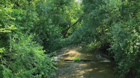
Photo
Where is located Trek Île
Trek Île — local attraction, which is located at 1-12 Ldt Île du Devant, 78570 Andrésy, France and belongs to the category — wildlife park. Average visitor rating for this place — 4.2 (according to 34 ratings, information from open sources and relevant for 2022).
Exact location — Trek Île, marked on the map with a red marker.
You can get directions to Trek Île on the map from your location.
What else is interesting in Cergy? You can see all the sights if you go to the city page.
Coordinates
Trek Île, France coordinates in decimal format: latitude — 48.982449673164545, longitude — 2.064533825133589. When converted to degrees, minutes, seconds Trek Île has the following coordinates: 48°58′56.82 north latitude and 2°3′52.32 east longitude.
Nearby cities
The largest cities that are located nearby:
- Boulogne-Billancourt — 25 km
- Rouen — 82 km
- Amiens — 96 km
- Orléans — 126 km
- Reims — 144 km
- Le Havre — 149 km
- Caen — 176 km
- Le Mans — 179 km
- Lille — 190 km
- Tours — 209 km
- Charleroi
 (Belgium) — 227 km
 - Eastbourne
 (United Kingdom) — 228 km
 - Namur (Belgium) — 253 km
- Brussels (Belgium) — 257 km
- Angers — 261 km
- Crawley (United Kingdom) — 277 km
- Gillingham (United Kingdom) — 280 km
- Antwerp (Belgium) — 291 km
- Southend-on-Sea (United Kingdom) — 293 km
Distance to the capital
Distance to the capital (Paris) is about — 25 km.