
 Maureville
Samoëns
Gréning
Toulouse
Volx
Goudet
Méhoncourt
Saint-Hymer
Pontcarré
Maureville
Samoëns
Gréning
Toulouse
Volx
Goudet
Méhoncourt
Saint-Hymer
Pontcarré
Île de la Jatte on the map, Neuilly-sur-Seine, France
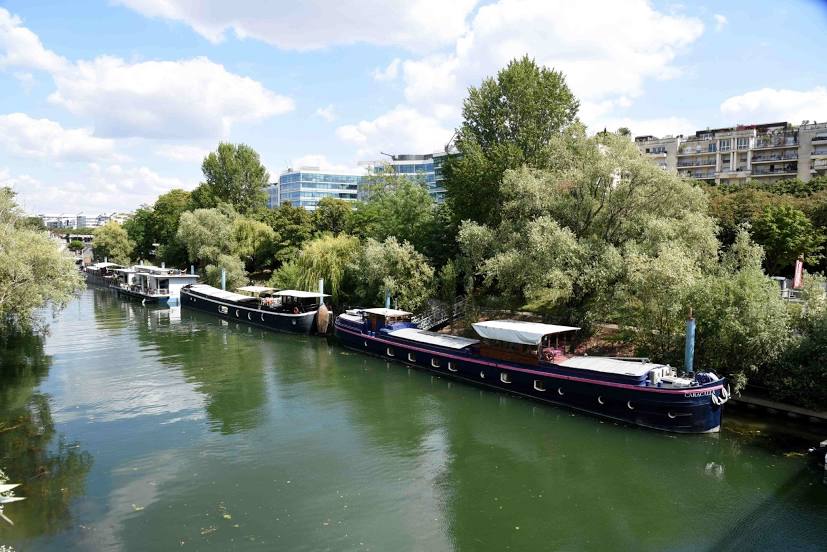
Photo
Where is located Île de la Jatte
Île de la Jatte — local attraction, which is located at no data and belongs to the category — -. Average visitor rating for this place — 4.6 (according to 108 ratings, information from open sources and relevant for 2022).
Exact location — Île de la Jatte, marked on the map with a red marker.
You can get directions to Île de la Jatte on the map from your location.
What else is interesting in Neuilly-sur-Seine? You can see all the sights if you go to the city page.
Coordinates
Île de la Jatte, France coordinates in decimal format: latitude — 48.89448879587951, longitude — 2.268272329321713. When converted to degrees, minutes, seconds Île de la Jatte has the following coordinates: 48°53′40.16 north latitude and 2°16′5.78 east longitude.
Nearby cities
The largest cities that are located nearby:
- Boulogne-Billancourt — 5 km
- Rouen — 104 km
- Amiens — 112 km
- Orléans — 112 km
- Reims — 134 km
- Le Havre — 169 km
- Le Mans — 181 km
- Caen — 194 km
- Lille — 201 km
- Tours — 203 km
- Charleroi
 (Belgium) — 228 km
 - Eastbourne
 (United Kingdom) — 250 km
 - Namur (Belgium) — 253 km
- Brussels (Belgium) — 261 km
- Angers — 263 km
- Dijon — 270 km
- Metz — 284 km
- Nancy — 287 km
- Antwerp (Belgium) — 297 km
Distance to the capital
Distance to the capital (Paris) is about — 7 km.