
 Maureville
Samoëns
Gréning
Toulouse
Volx
Goudet
Méhoncourt
Saint-Hymer
Pontcarré
Maureville
Samoëns
Gréning
Toulouse
Volx
Goudet
Méhoncourt
Saint-Hymer
Pontcarré
Sainte-Chapelle on the map, Nanterre, France
Photo
Where is located Sainte-Chapelle
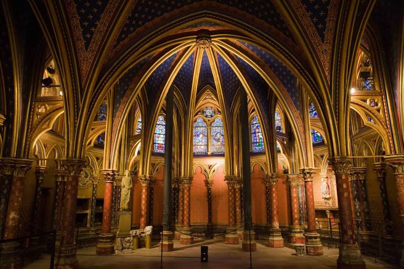
Sainte-Chapelle — local attraction, which is located at 10 Bd du Palais, 75001 Paris, France and belongs to the category — chapel. Average visitor rating for this place — 4.7 (according to 26080 ratings, information from open sources and relevant for 2022).
Exact location — Sainte-Chapelle, marked on the map with a red marker.
You can get directions to Sainte-Chapelle on the map from your location.
What else is interesting in Nanterre? You can see all the sights if you go to the city page.
Coordinates
Sainte-Chapelle, France coordinates in decimal format: latitude — 48.87198476180442, longitude — 2.2804591111358388. When converted to degrees, minutes, seconds Sainte-Chapelle has the following coordinates: 48°52′19.15 north latitude and 2°16′49.65 east longitude.
Nearby cities
The largest cities that are located nearby:
- Boulogne-Billancourt — 6 km
- Rouen — 101 km
- Amiens — 111 km
- Orléans — 112 km
- Reims — 137 km
- Le Havre — 165 km
- Le Mans — 178 km
- Caen — 190 km
- Lille — 201 km
- Tours — 201 km
- Charleroi
 (Belgium) — 230 km
 - Eastbourne
 (United Kingdom) — 247 km
 - Namur (Belgium) — 255 km
- Angers — 260 km
- Brussels (Belgium) — 263 km
- Dijon — 274 km
- Metz — 288 km
- Nancy — 291 km
- Crawley (United Kingdom) — 296 km
Distance to the capital
Distance to the capital (Paris) is about — 6 km.