
 Maureville
Samoëns
Gréning
Toulouse
Volx
Goudet
Méhoncourt
Saint-Hymer
Pontcarré
Maureville
Samoëns
Gréning
Toulouse
Volx
Goudet
Méhoncourt
Saint-Hymer
Pontcarré
Chapelle du Souvenir on the map, Flers, France
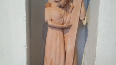
Photo
Where is located Chapelle du Souvenir
Chapelle du Souvenir — local attraction, which is located at Chem. des Charretiers, 61100 Flers, France and belongs to the category — chapel. Average visitor rating for this place — 3.9 (according to 8 ratings, information from open sources and relevant for 2022).
Exact location — Chapelle du Souvenir, marked on the map with a red marker.
You can get directions to Chapelle du Souvenir on the map from your location.
What else is interesting in Flers? You can see all the sights if you go to the city page.
Coordinates
Chapelle du Souvenir, France coordinates in decimal format: latitude — 48.747545007496086, longitude — -0.5604331748746791. When converted to degrees, minutes, seconds Chapelle du Souvenir has the following coordinates: 48°44′51.16 north latitude and -0°33′37.56 east longitude.
Nearby cities
The largest cities that are located nearby:
- Caen — 50 km
- Le Havre — 96 km
- Le Mans — 100 km
- Rennes — 107 km
- Angers — 141 km
- Rouen — 143 km
- Tours — 177 km
- Nantes — 185 km
- Boulogne-Billancourt — 205 km
- Orléans — 207 km
- Eastbourne
 (United Kingdom) — 231 km
 - Portsmouth (United Kingdom) — 232 km
- Bournemouth (United Kingdom) — 236 km
- Amiens — 240 km
- Southampton (United Kingdom) — 246 km
- Crawley (United Kingdom) — 262 km
- Brest — 290 km
- Sutton (United Kingdom) — 290 km
- Reading (United Kingdom) — 300 km
Distance to the capital
Distance to the capital (Paris) is about — 214 km.