
 Maureville
Samoëns
Gréning
Toulouse
Volx
Goudet
Méhoncourt
Saint-Hymer
Pontcarré
Maureville
Samoëns
Gréning
Toulouse
Volx
Goudet
Méhoncourt
Saint-Hymer
Pontcarré
Place Stanislas on the map, Nancy, France
Photo
Where is located Place Stanislas
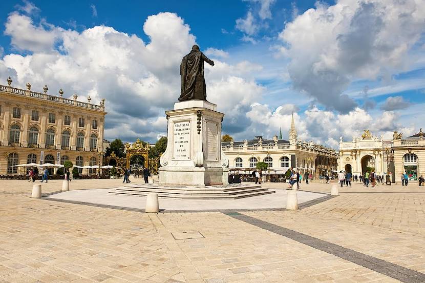
Place Stanislas — local attraction, which is located at Pl. Stanislas, 54000 Nancy, France and belongs to the category — landmark. Average visitor rating for this place — 4.8 (according to 21833 ratings, information from open sources and relevant for 2022).
Exact location — Place Stanislas, marked on the map with a red marker.
You can get directions to Place Stanislas on the map from your location.
What else is interesting in Nancy? You can see all the sights if you go to the city page.
Coordinates
Place Stanislas, France coordinates in decimal format: latitude — 48.69358296952308, longitude — 6.183176925123382. When converted to degrees, minutes, seconds Place Stanislas has the following coordinates: 48°41′36.9 north latitude and 6°10′59.44 east longitude.
Nearby cities
The largest cities that are located nearby:
- Metz — 47 km
- Saarbrücken
 (Germany) — 84 km
 - Strasbourg — 115 km
- Trier (Germany) — 121 km
- Mulhouse — 135 km
- Freiburg (Germany) — 145 km
- Besançon — 161 km
- Basel
 (Switzerland) — 163 km
 - Karlsruhe (Germany) — 165 km
- Reims — 167 km
- Dijon — 174 km
- Pforzheim (Germany) — 184 km
- Ludwigshafen (Germany) — 184 km
- Mannheim (Germany) — 186 km
- Heidelberg (Germany) — 195 km
- Mainz (Germany) — 205 km
- Koblenz (Germany) — 209 km
- Wiesbaden (Germany) — 212 km
- Bern (Switzerland) — 215 km
Distance to the capital
Distance to the capital (Paris) is about — 281 km.