Columbia — Clarksburg
Columbia — Wildwood
Columbia — Tyonek
Columbia — Loma Rica
Columbia — Fort Sumner
Columbia — Chattaroy
Columbia — Kipling
Columbia — Ogema
Columbia — Pell City
Columbia — Stillwater
Columbia — New Meadows
Columbia — Grimsley
Columbia — Independence
Columbia — Harleysville
Columbia — Derma
Columbia — Garden City
Columbia — Amelia Court House
Columbia — Dam
Columbia — Brookdale
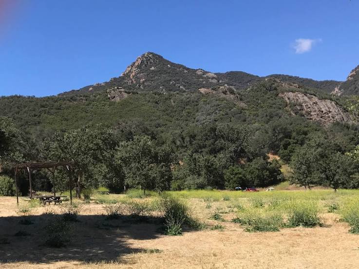
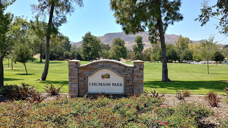
Columbia — Agoura Hills distance, route on the map
Distance by car
Distance between Columbia, South Carolina, United States and Agoura Hills, California, United States by car is — km, or miles. To travel this distance by car, you need minute, or h.
Route on the map, driving directions
Car route Columbia — Agoura Hills was created automatically. The road on the map is shown as a blue line. By moving the markers, you can create a new route through the points you need.
Distance by plane
If you decide to take a trip Columbia Agoura Hills by plane, then you have to fly the distance — 3455 km or 2142 miles. It is marked on the map with a gray line (between two points in a straight line).
Flight time
Estimated flight time Columbia Agoura Hills by plane at cruising speed 750 km / h will be — 4 h. and 36 min.
Direction of movement
United States, Columbia — right-hand traffic. United States, Agoura Hills — right-hand traffic.
Difference in time
Columbia and Agoura Hills are in different time zones. The time difference is 3 hours (UTC -4 America/New_York, UTC -7 America/Los_Angeles).
Interesting Facts
Information on alternative ways to get to your destination.
The length of this distance is about 8.6% of the total length of the equator.
The percentage of the population is clearly shown in the graph:
Columbia — 117,722, Agoura Hills — 22,222 residents (less by 95,500).
The cost of travel
Calculate the cost of the trip yourself using the fuel consumption calculator, changing the data in the table.
Calculate the cost of other distances from the starting point — Columbia.