
 Maureville
Samoëns
Gréning
Toulouse
Volx
Goudet
Méhoncourt
Saint-Hymer
Pontcarré
Maureville
Samoëns
Gréning
Toulouse
Volx
Goudet
Méhoncourt
Saint-Hymer
Pontcarré
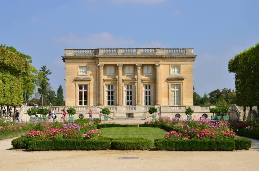
Marie-Antoinette's Estate on the map, Versailles, France
Photo
Where is located Marie-Antoinette's Estate
Marie-Antoinette's Estate — local attraction, which is located at 78008 Versailles, France and belongs to the category — palace. Average visitor rating for this place — 4.6 (according to 8661 rating, information from open sources and relevant for 2022).
Exact location — Marie-Antoinette's Estate, marked on the map with a red marker.
You can get directions to Marie-Antoinette's Estate on the map from your location.
What else is interesting in Versailles? You can see all the sights if you go to the city page.
Coordinates
Marie-Antoinette's Estate, France coordinates in decimal format: latitude — 48.81543235531307, longitude — 2.1088188251277145. When converted to degrees, minutes, seconds Marie-Antoinette's Estate has the following coordinates: 48°48′55.56 north latitude and 2°6′31.75 east longitude.
Nearby cities
The largest cities that are located nearby:
- Boulogne-Billancourt — 9 km
- Orléans — 101 km
- Rouen — 103 km
- Amiens — 121 km
- Reims — 146 km
- Le Havre — 164 km
- Le Mans — 168 km
- Caen — 186 km
- Tours — 189 km
- Lille — 212 km
- Charleroi
 (Belgium) — 241 km
 - Angers — 249 km
- Eastbourne
 (United Kingdom) — 253 km
 - Namur (Belgium) — 267 km
- Dijon — 273 km
- Brussels (Belgium) — 275 km
- Rennes — 291 km
- Metz — 295 km
- Nancy — 296 km
Distance to the capital
Distance to the capital (Paris) is about — 18 km.