
 Maureville
Samoëns
Gréning
Toulouse
Volx
Goudet
Méhoncourt
Saint-Hymer
Pontcarré
Maureville
Samoëns
Gréning
Toulouse
Volx
Goudet
Méhoncourt
Saint-Hymer
Pontcarré
Église catholique Saint-Maclou on the map, Rouen, France
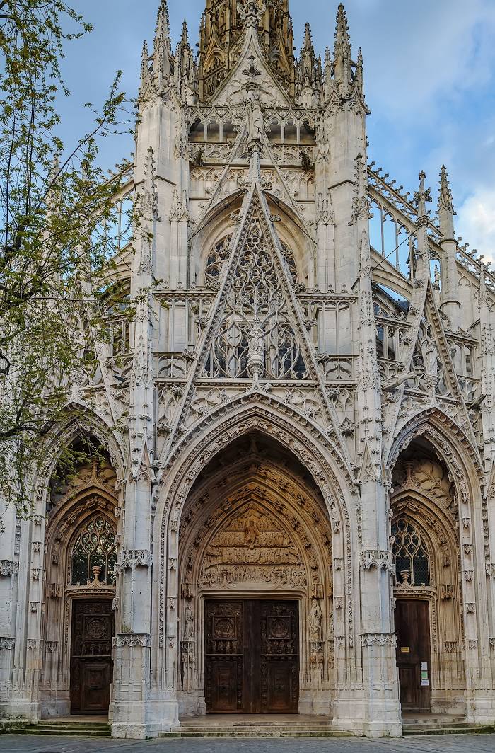
Photo
Where is located Église catholique Saint-Maclou
Église catholique Saint-Maclou — local attraction, which is located at 7 Pl. Barthélémy, 76000 Rouen, France and belongs to the category — catholic church. Average visitor rating for this place — 4.5 (according to 1180 ratings, information from open sources and relevant for 2022).
Exact location — Église catholique Saint-Maclou, marked on the map with a red marker.
You can get directions to Église catholique Saint-Maclou on the map from your location.
What else is interesting in Rouen? You can see all the sights if you go to the city page.
Coordinates
Église catholique Saint-Maclou, France coordinates in decimal format: latitude — 49.439759497385005, longitude — 1.0982680251498802. When converted to degrees, minutes, seconds Église catholique Saint-Maclou has the following coordinates: 49°26′23.13 north latitude and 1°5′53.76 east longitude.
Nearby cities
The largest cities that are located nearby:
- Le Havre — 71 km
- Amiens — 99 km
- Boulogne-Billancourt — 106 km
- Caen — 110 km
- Eastbourne
 (United Kingdom) — 157 km
 - Le Mans — 172 km
- Orléans — 181 km
- Lille — 190 km
- Crawley (United Kingdom) — 205 km
- Reims — 213 km
- Portsmouth (United Kingdom) — 216 km
- Gillingham (United Kingdom) — 218 km
- Tours — 229 km
- Sutton (United Kingdom) — 230 km
- Southend-on-Sea (United Kingdom) — 234 km
- Southampton (United Kingdom) — 238 km
- Basildon (United Kingdom) — 240 km
- London (United Kingdom) — 243 km
- Angers — 250 km
Distance to the capital
Distance to the capital (Paris) is about — 112 km.