San Antonio — Dighton
San Antonio — Lowville
San Antonio — Whipple
San Antonio — Hampton Falls
San Antonio — Odin
San Antonio — Collegeville
San Antonio — Bruning
San Antonio — Braceville
San Antonio — Alfred
San Antonio — Glencoe
San Antonio — Kewaunee
San Antonio — Nelson County
San Antonio — Healdsburg
San Antonio — Tobaccoville
San Antonio — Strong
San Antonio — Ephraim
San Antonio — Athena
San Antonio — Stewart International Airport
San Antonio — Big Lake
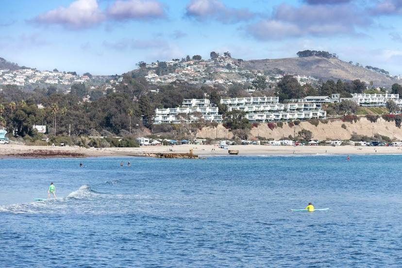
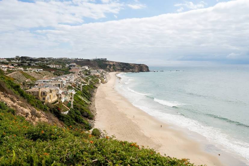
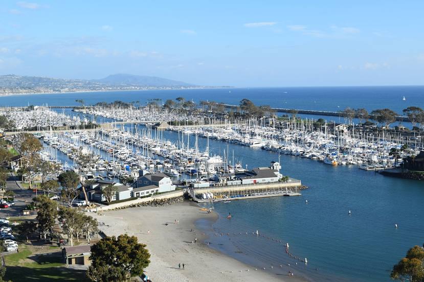
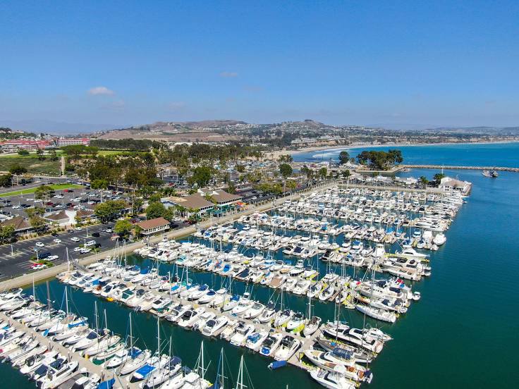
San Antonio — Dana Point distance, route on the map
Distance by car
Distance between San Antonio, Texas, United States and Dana Point, California, United States by car is — km, or miles. To travel this distance by car, you need minute, or h.
Route on the map, driving directions
Car route San Antonio — Dana Point was created automatically. The road on the map is shown as a blue line. By moving the markers, you can create a new route through the points you need.
Distance by plane
If you decide to take a trip San Antonio Dana Point by plane, then you have to fly the distance — 1874 km or 1162 miles. It is marked on the map with a gray line (between two points in a straight line).
Flight time
Estimated flight time San Antonio Dana Point by plane at cruising speed 750 km / h will be — 2 h. and 29 min.
Direction of movement
United States, San Antonio — right-hand traffic. United States, Dana Point — right-hand traffic.
Difference in time
San Antonio and Dana Point are in different time zones. The time difference is 2 hours (UTC -5 America/Chicago, UTC -7 America/Los_Angeles).
Interesting Facts
Information on alternative ways to get to your destination.
The length of this distance is about 4.7% of the total length of the equator.
The percentage of the population is clearly shown in the graph:
San Antonio — 1,256,810, Dana Point — 35,870 residents (less by 1,220,940).
The cost of travel
Calculate the cost of the trip yourself using the fuel consumption calculator, changing the data in the table.
Calculate the cost of other distances from the starting point — San Antonio.