Corona — Goshen
Corona — Follansbee
Corona — Ramsey
Corona — Malung
Corona — Jim Thorpe
Corona — Harford
Corona — Lovettsville
Corona — Artesia
Corona — Scribner
Corona — Beatrice
Corona — Oacoma
Corona — Elkwood
Corona — Zorn
Corona — Chico
Corona — Marshville
Corona — Hamel
Corona — Bolivar
Corona — Schilling
Corona — Riga
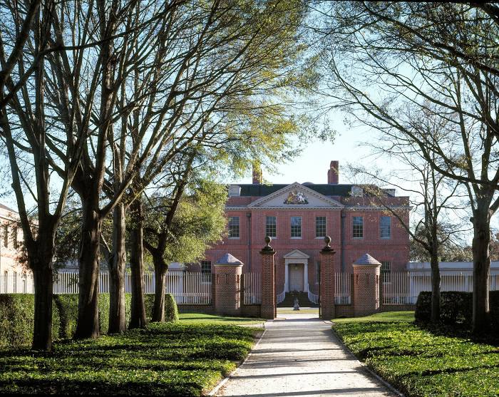
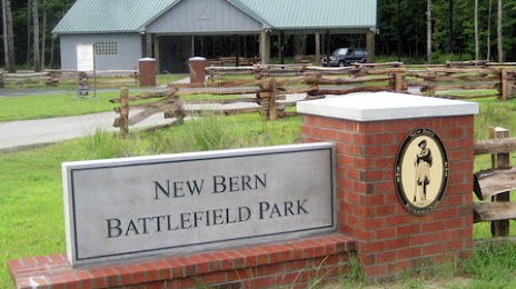
Corona — New Bern distance, route on the map
Distance by car
Distance between Corona, California, United States and New Bern, North Carolina, United States by car is — km, or miles. To travel this distance by car, you need minute, or h.
Route on the map, driving directions
Car route Corona — New Bern was created automatically. The road on the map is shown as a blue line. By moving the markers, you can create a new route through the points you need.
Distance by plane
If you decide to take a trip Corona New Bern by plane, then you have to fly the distance — 3692 km or 2289 miles. It is marked on the map with a gray line (between two points in a straight line).
Flight time
Estimated flight time Corona New Bern by plane at cruising speed 750 km / h will be — 4 h. and 55 min.
Direction of movement
United States, Corona — right-hand traffic. United States, New Bern — right-hand traffic.
Difference in time
Corona and New Bern are in different time zones. The time difference is 3 hours (UTC -7 America/Los_Angeles, UTC -4 America/New_York).
Interesting Facts
Information on alternative ways to get to your destination.
The length of this distance is about 9.2% of the total length of the equator.
The percentage of the population is clearly shown in the graph:
Corona — 152,954, New Bern — 23,623 residents (less by 129,331).
The cost of travel
Calculate the cost of the trip yourself using the fuel consumption calculator, changing the data in the table.
Calculate the cost of other distances from the starting point — Corona.