Sunnyvale — Verona
Sunnyvale — Fieldon
Sunnyvale — Akron-Canton Airport
Sunnyvale — Kihei
Sunnyvale — Wagoner
Sunnyvale — Floydada
Sunnyvale — East Dublin
Sunnyvale — Galena
Sunnyvale — Bovard
Sunnyvale — Hazen
Sunnyvale — Luxor
Sunnyvale — Nezperce
Sunnyvale — Coweta
Sunnyvale — Lexington
Sunnyvale — Dover
Sunnyvale — Loleta
Sunnyvale — Manlius
Sunnyvale — Redmond
Sunnyvale — Roff
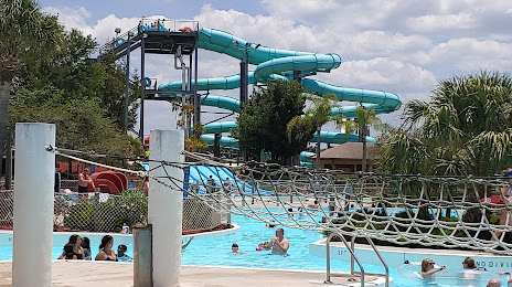
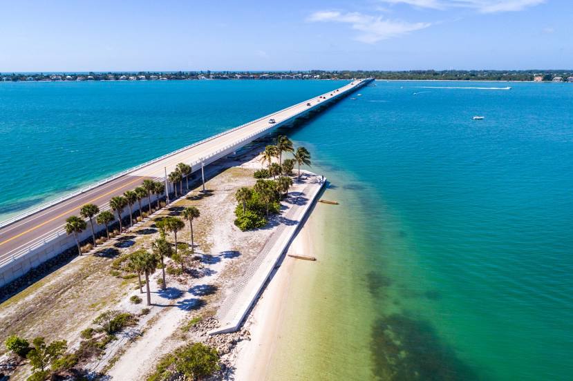
Sunnyvale — Cape Coral distance, route on the map
Distance by car
Distance between Sunnyvale, California, United States and Cape Coral, Florida, United States by car is — km, or miles. To travel this distance by car, you need minute, or h.
Route on the map, driving directions
Car route Sunnyvale — Cape Coral was created automatically. The road on the map is shown as a blue line. By moving the markers, you can create a new route through the points you need.
Distance by plane
If you decide to take a trip Sunnyvale Cape Coral by plane, then you have to fly the distance — 3936 km or 2440 miles. It is marked on the map with a gray line (between two points in a straight line).
Flight time
Estimated flight time Sunnyvale Cape Coral by plane at cruising speed 750 km / h will be — 5 h. and 14 min.
Direction of movement
United States, Sunnyvale — right-hand traffic. United States, Cape Coral — right-hand traffic.
Difference in time
Sunnyvale and Cape Coral are in different time zones. The time difference is 3 hours (UTC -7 America/Los_Angeles, UTC -4 America/New_York).
Interesting Facts
Information on alternative ways to get to your destination.
The length of this distance is about 9.8% of the total length of the equator.
The percentage of the population is clearly shown in the graph:
Sunnyvale — 126,499 (less by 4,308), Cape Coral — 130,807 residents.
The cost of travel
Calculate the cost of the trip yourself using the fuel consumption calculator, changing the data in the table.
Calculate the cost of other distances from the starting point — Sunnyvale.