Pharr — LaGuardia Airport
Pharr — Skaneateles
Pharr — Irvine
Pharr — Biddeford
Pharr — Manchester
Pharr — South Amboy
Pharr — Mililani
Pharr — Welch
Pharr — Kiefer
Pharr — Lancaster
Pharr — Williford
Pharr — Tallassee Municipal Airport
Pharr — Lattimore
Pharr — Portal
Pharr — Westover
Pharr — Port Canaveral
Pharr — Tilton
Pharr — Cobalt
Pharr — Mulkeytown
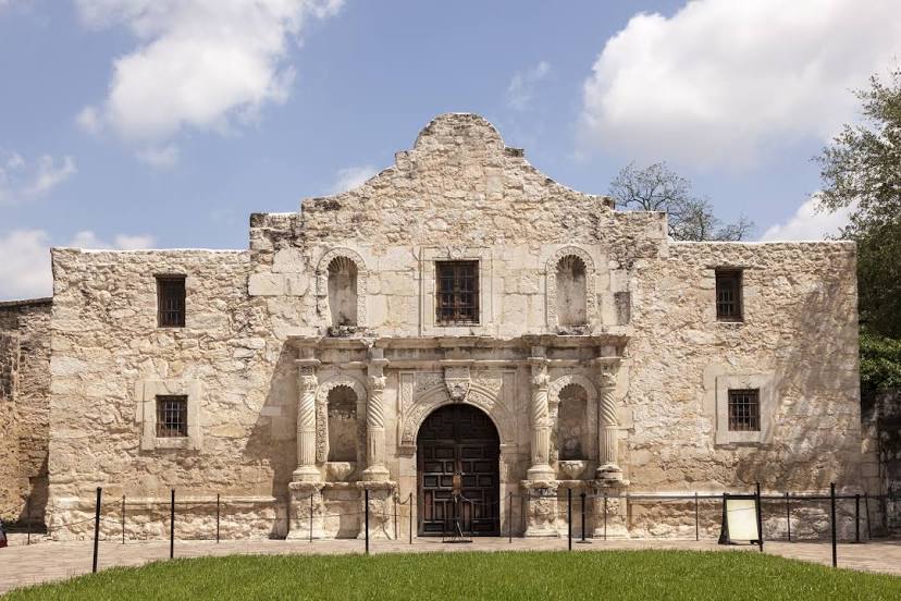
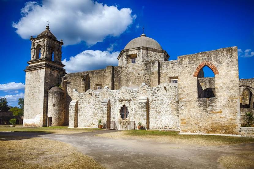
Pharr — San Antonio distance, route on the map
Distance by car
Distance between Pharr, Texas, United States and San Antonio, Texas, United States by car is — km, or miles. To travel this distance by car, you need minute, or h.
Route on the map, driving directions
Car route Pharr — San Antonio was created automatically. The road on the map is shown as a blue line. By moving the markers, you can create a new route through the points you need.
Passing cities through which the car route passes: McAllen, Edinburg, Encino, Falfurrias, Ben Bolt, Alice, George West, Pleasanton, Elmendorf.
Distance by plane
If you decide to take a trip Pharr San Antonio by plane, then you have to fly the distance — 360 km or 223 miles. It is marked on the map with a gray line (between two points in a straight line).
Flight time
Estimated flight time Pharr San Antonio by plane at cruising speed 750 km / h will be — 28 min.
Direction of movement
United States, Pharr — right-hand traffic. United States, San Antonio — right-hand traffic.
Difference in time
Pharr and San Antonio are in the same time zone. Between them there is no time difference (UTC -5 America/Chicago).
Interesting Facts
Information on alternative ways to get to your destination.
The length of this distance is about 0.9% of the total length of the equator.
The percentage of the population is clearly shown in the graph:
Pharr — 60,687 (less by 1,196,123), San Antonio — 1,256,810 residents.
The cost of travel
Calculate the cost of the trip yourself using the fuel consumption calculator, changing the data in the table.