
 Maureville
Samoëns
Gréning
Toulouse
Volx
Goudet
Méhoncourt
Saint-Hymer
Pontcarré
Maureville
Samoëns
Gréning
Toulouse
Volx
Goudet
Méhoncourt
Saint-Hymer
Pontcarré
Grand Palais on the map, Courbevoie, France
Photo
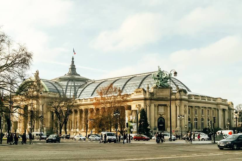
Where is located Grand Palais
Grand Palais — local attraction, which is located at 3 Av. du Général Eisenhower, 75008 Paris, France and belongs to the category — museum. Average visitor rating for this place — 4.5 (according to 21584 ratings, information from open sources and relevant for 2022).
Exact location — Grand Palais, marked on the map with a red marker.
You can get directions to Grand Palais on the map from your location.
What else is interesting in Courbevoie? You can see all the sights if you go to the city page.
Coordinates
Grand Palais, France coordinates in decimal format: latitude — 48.86604319099365, longitude — 2.313457625129511. When converted to degrees, minutes, seconds Grand Palais has the following coordinates: 48°51′57.76 north latitude and 2°18′48.45 east longitude.
Nearby cities
The largest cities that are located nearby:
- Boulogne-Billancourt — 7 km
- Rouen — 103 km
- Amiens — 110 km
- Orléans — 113 km
- Reims — 134 km
- Le Havre — 168 km
- Le Mans — 182 km
- Caen — 193 km
- Lille — 199 km
- Tours — 204 km
- Charleroi
 (Belgium) — 227 km
 - Eastbourne
 (United Kingdom) — 248 km
 - Namur (Belgium) — 253 km
- Brussels (Belgium) — 260 km
- Angers — 263 km
- Dijon — 272 km
- Metz — 284 km
- Nancy — 287 km
- Antwerp (Belgium) — 296 km
Distance to the capital
Distance to the capital (Paris) is about — 3 km.