Latham — Overlea
Latham — Tyro
Latham — Jarbidge
Latham — Path
Latham — Loveland
Latham — Dunn
Latham — Talbotton
Latham — Kathryn
Latham — Lynd
Latham — Edgerton
Latham — Providence
Latham — Kinards
Latham — Geddes
Latham — Bronte
Latham — Haynes
Latham — Middleville
Latham — Paramus
Latham — Montague Township
Latham — Countryside
Guilderland
Rotterdam
Schenectady County
Pattersonville
Amsterdam
Amsterdam Airfield
Fultonville
Palatine Bridge
Herkimer
Mohawk
Ilion
Utica
Whitesboro
Oriskany
Verona
Oneida
Canastota
Chittenango
Fayetteville
East Syracuse
North Syracuse
Syracuse
Liverpool
Van Buren
Elbridge
Weedsport
Seneca Falls
Oaks Corners
Shortsville
Pittsford
Rochester
Mumford
Riga
Le Roy
South Byron
Elba
Clarence
Bowmansville
Williamsville
Gardenville
Athol Springs
Dunkirk
Fredonia
Brocton
Portland
Erie
McKean
Cranesville
Conneaut
North Kingsville
Ashtabula
Austinburg
Lake County
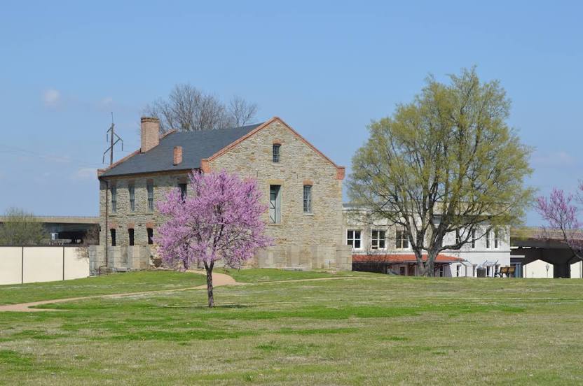
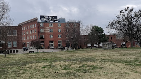
Latham — Fort Smith distance, route on the map
Distance by car
Distance between Latham, New York, United States and Fort Smith, Arkansas, United States by car is — km, or miles. To travel this distance by car, you need minute, or h.
Route on the map, driving directions
Car route Latham — Fort Smith was created automatically. The road on the map is shown as a blue line. By moving the markers, you can create a new route through the points you need.
Passing cities through which the car route passes: Newtonville, Guilderland, Rotterdam, Schenectady County, Pattersonville, Amsterdam, Amsterdam Airfield, Fultonville, Palatine Bridge, Herkimer, Mohawk, Ilion, Utica, Whitesboro, Oriskany, Verona, Oneida, Canastota, Chittenango, Fayetteville, East Syracuse, North Syracuse, Syracuse, Liverpool, Van Buren, Elbridge, Weedsport, Seneca Falls, Oaks Corners, Shortsville, Pittsford, Rochester, Mumford, Riga, Le Roy, South Byron, Elba, Clarence, Bowmansville, Williamsville, Gardenville, Athol Springs, Dunkirk, Fredonia, Brocton, Portland, Erie, McKean, Cranesville, Conneaut, North Kingsville, Ashtabula, Austinburg, Lake County.
Distance by plane
If you decide to take a trip Latham Fort Smith by plane, then you have to fly the distance — 1955 km or 1212 miles. It is marked on the map with a gray line (between two points in a straight line).
Flight time
Estimated flight time Latham Fort Smith by plane at cruising speed 750 km / h will be — 2 h. and 36 min.
Direction of movement
United States, Latham — right-hand traffic. United States, Fort Smith — right-hand traffic.
Difference in time
Latham and Fort Smith are in different time zones. The time difference is 1 hour (UTC -4 America/New_York, UTC -5 America/Chicago).
Interesting Facts
Information on alternative ways to get to your destination.
The length of this distance is about 4.9% of the total length of the equator.
The cost of travel
Calculate the cost of the trip yourself using the fuel consumption calculator, changing the data in the table.