
 Maureville
Samoëns
Gréning
Toulouse
Volx
Goudet
Méhoncourt
Saint-Hymer
Pontcarré
Maureville
Samoëns
Gréning
Toulouse
Volx
Goudet
Méhoncourt
Saint-Hymer
Pontcarré
Parc du Prieuré de Cayac on the map, Gradignan, France
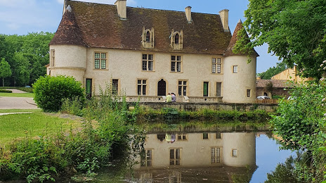
Photo
Where is located Parc du Prieuré de Cayac
Parc du Prieuré de Cayac — local attraction, which is located at 1 Rue de Chartrèze, 33170 Gradignan, France and belongs to the category — city park. Average visitor rating for this place — 4.7 (according to 180 ratings, information from open sources and relevant for 2022).
Exact location — Parc du Prieuré de Cayac, marked on the map with a red marker.
You can get directions to Parc du Prieuré de Cayac on the map from your location.
What else is interesting in Gradignan? You can see all the sights if you go to the city page.
Coordinates
Parc du Prieuré de Cayac, France coordinates in decimal format: latitude — 44.765245191849985, longitude — -0.6215355750109693. When converted to degrees, minutes, seconds Parc du Prieuré de Cayac has the following coordinates: 44°45′54.88 north latitude and -0°37′17.53 east longitude.
Nearby cities
The largest cities that are located nearby:
- Bordeaux — 8 km
- Limoges — 186 km
- San Sebastián
 (Spain) — 195 km
 - Toulouse — 210 km
- Pamplona (Spain) — 232 km
- Bilbao (Spain) — 250 km
- Vitoria-Gasteiz (Spain) — 270 km
- Nantes — 279 km
- Santander (Spain) — 294 km
- Logroño (Spain) — 296 km
- Angers — 299 km
- Tours — 306 km
- Clermont-Ferrand — 307 km
- Zaragoza (Spain) — 346 km
- Le Mans — 362 km
- Lleida (Spain) — 364 km
- Perpignan — 367 km
- Burgos (Spain) — 368 km
- Rennes — 378 km
Distance to the capital
Distance to the capital (Paris) is about — 508 km.