
 Maureville
Samoëns
Gréning
Toulouse
Volx
Goudet
Méhoncourt
Saint-Hymer
Pontcarré
Maureville
Samoëns
Gréning
Toulouse
Volx
Goudet
Méhoncourt
Saint-Hymer
Pontcarré
Royaume des enfants on the map, Athis-Mons, France
Photo
Where is located Royaume des enfants
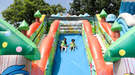
Royaume des enfants — local attraction, which is located at Rue du Port aux Cerises, 91210 Draveil, France and belongs to the category — amusement park. Average visitor rating for this place — 4.1 (according to 905 ratings, information from open sources and relevant for 2022).
Exact location — Royaume des enfants, marked on the map with a red marker.
You can get directions to Royaume des enfants on the map from your location.
What else is interesting in Athis-Mons? You can see all the sights if you go to the city page.
Coordinates
Royaume des enfants, France coordinates in decimal format: latitude — 48.69345136943042, longitude — 2.406253898035069. When converted to degrees, minutes, seconds Royaume des enfants has the following coordinates: 48°41′36.42 north latitude and 2°24′22.51 east longitude.
Nearby cities
The largest cities that are located nearby:
- Boulogne-Billancourt — 18 km
- Orléans — 96 km
- Rouen — 123 km
- Amiens — 131 km
- Reims — 133 km
- Le Mans — 179 km
- Le Havre — 185 km
- Tours — 193 km
- Caen — 206 km
- Lille — 217 km
- Charleroi
 (Belgium) — 238 km
 - Dijon — 251 km
- Angers — 259 km
- Namur (Belgium) — 262 km
- Eastbourne
 (United Kingdom) — 271 km
 - Brussels (Belgium) — 274 km
- Nancy — 277 km
- Metz — 278 km
- Rennes — 307 km
Distance to the capital
Distance to the capital (Paris) is about — 19 km.