Grand Prairie — Salem
Grand Prairie — Roderfield
Grand Prairie — Rogers
Grand Prairie — Westville
Grand Prairie — Ivor
Grand Prairie — Trout Creek
Grand Prairie — Kuna
Grand Prairie — Sharpsburg
Grand Prairie — Schofield
Grand Prairie — Freeland
Grand Prairie — Buttonwillow
Grand Prairie — Penland
Grand Prairie — Brussels
Grand Prairie — Haines
Grand Prairie — Ladysmith
Grand Prairie — Willards
Grand Prairie — Tukey
Grand Prairie — Groveland
Grand Prairie — Mabank
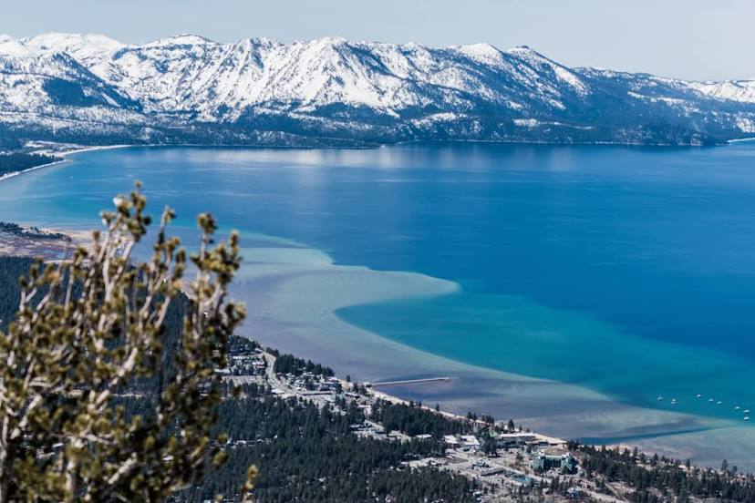
Grand Prairie — South Lake Tahoe distance, route on the map
Distance by car
Distance between Grand Prairie, Texas, United States and South Lake Tahoe, California, United States by car is — km, or miles. To travel this distance by car, you need minute, or h.
Route on the map, driving directions
Car route Grand Prairie — South Lake Tahoe was created automatically. The road on the map is shown as a blue line. By moving the markers, you can create a new route through the points you need.
Distance by plane
If you decide to take a trip Grand Prairie South Lake Tahoe by plane, then you have to fly the distance — 2176 km or 1349 miles. It is marked on the map with a gray line (between two points in a straight line).
Flight time
Estimated flight time Grand Prairie South Lake Tahoe by plane at cruising speed 750 km / h will be — 2 h. and 54 min.
Direction of movement
United States, Grand Prairie — right-hand traffic. United States, South Lake Tahoe — right-hand traffic.
Difference in time
Grand Prairie and South Lake Tahoe are in different time zones. The time difference is 2 hours (UTC -5 America/Chicago, UTC -7 America/Los_Angeles).
Interesting Facts
Information on alternative ways to get to your destination.
The length of this distance is about 5.4% of the total length of the equator.
The percentage of the population is clearly shown in the graph:
Grand Prairie — 141,122, South Lake Tahoe — 23,925 residents (less by 117,197).
The cost of travel
Calculate the cost of the trip yourself using the fuel consumption calculator, changing the data in the table.
Calculate the cost of other distances from the starting point — Grand Prairie.