Stockton — Mooresville
Stockton — Villa Hills
Stockton — Newcastle
Stockton — Ponchatoula
Stockton — Plantersville
Stockton — Oran
Stockton — Keene
Stockton — Quinwood
Stockton — Ellendale
Stockton — Berwind
Stockton — Westmoreland City
Stockton — Wimberley
Stockton — Ekron
Stockton — Safety Harbor
Stockton — Lucas Airport
Stockton — Sapa
Stockton — Darlington
Stockton — South Solon
Stockton — Glenwood Springs
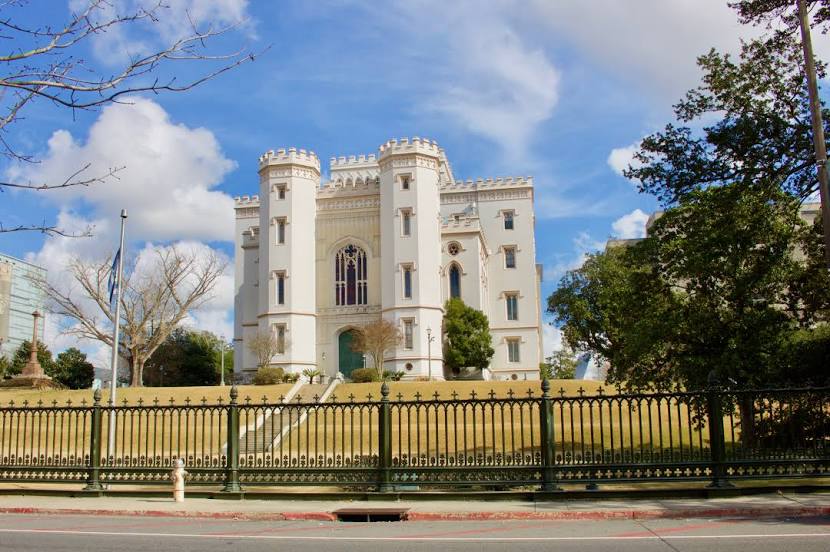
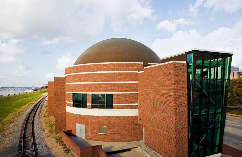
Stockton — Baton Rouge distance, route on the map
Distance by car
Distance between Stockton, California, United States and Baton Rouge, Louisiana, United States by car is — km, or miles. To travel this distance by car, you need minute, or h.
Route on the map, driving directions
Car route Stockton — Baton Rouge was created automatically. The road on the map is shown as a blue line. By moving the markers, you can create a new route through the points you need.
Distance by plane
If you decide to take a trip Stockton Baton Rouge by plane, then you have to fly the distance — 2882 km or 1787 miles. It is marked on the map with a gray line (between two points in a straight line).
Flight time
Estimated flight time Stockton Baton Rouge by plane at cruising speed 750 km / h will be — 3 h. and 50 min.
Direction of movement
United States, Stockton — right-hand traffic. United States, Baton Rouge — right-hand traffic.
Difference in time
Stockton and Baton Rouge are in different time zones. The time difference is 2 hours (UTC -7 America/Los_Angeles, UTC -5 America/Chicago).
Interesting Facts
Information on alternative ways to get to your destination.
The length of this distance is about 7.2% of the total length of the equator.
The percentage of the population is clearly shown in the graph:
Stockton — 289,580, Baton Rouge — 223,349 residents (less by 66,231).
The cost of travel
Calculate the cost of the trip yourself using the fuel consumption calculator, changing the data in the table.
Calculate the cost of other distances from the starting point — Stockton.