
 Maureville
Samoëns
Gréning
Toulouse
Volx
Goudet
Méhoncourt
Saint-Hymer
Pontcarré
Maureville
Samoëns
Gréning
Toulouse
Volx
Goudet
Méhoncourt
Saint-Hymer
Pontcarré
Étang d'Armainvilliers on the map, Brie-Comte-Robert, France
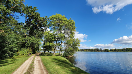
Photo
Where is located Étang d'Armainvilliers
Étang d'Armainvilliers — local attraction, which is located at no data and belongs to the category — -. Average visitor rating for this place — 3.0 (according to 11 ratings, information from open sources and relevant for 2022).
Exact location — Étang d'Armainvilliers, marked on the map with a red marker.
You can get directions to Étang d'Armainvilliers on the map from your location.
What else is interesting in Brie-Comte-Robert? You can see all the sights if you go to the city page.
Coordinates
Étang d'Armainvilliers, France coordinates in decimal format: latitude — 48.689865098519896, longitude — 2.6131059438682507. When converted to degrees, minutes, seconds Étang d'Armainvilliers has the following coordinates: 48°41′23.51 north latitude and 2°36′47.18 east longitude.
Nearby cities
The largest cities that are located nearby:
- Boulogne-Billancourt — 32 km
- Orléans — 101 km
- Reims — 120 km
- Amiens — 135 km
- Rouen — 137 km
- Le Mans — 194 km
- Le Havre — 200 km
- Tours — 203 km
- Lille — 217 km
- Caen — 222 km
- Charleroi
 (Belgium) — 230 km
 - Dijon — 237 km
- Namur (Belgium) — 253 km
- Nancy — 261 km
- Metz — 262 km
- Brussels (Belgium) — 268 km
- Angers — 272 km
- Eastbourne
 (United Kingdom) — 281 km
 - Liège (Belgium) — 299 km
Distance to the capital
Distance to the capital (Paris) is about — 27 km.