
 Maureville
Samoëns
Gréning
Toulouse
Volx
Goudet
Méhoncourt
Saint-Hymer
Pontcarré
Maureville
Samoëns
Gréning
Toulouse
Volx
Goudet
Méhoncourt
Saint-Hymer
Pontcarré
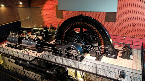
Electropolis Museum on the map, Mulhouse, France
Photo
Where is located Electropolis Museum
Electropolis Museum — local attraction, which is located at 55 Rue du Pâturage, 68200 Mulhouse, France and belongs to the category — museum. Average visitor rating for this place — 4.3 (according to 687 ratings, information from open sources and relevant for 2022).
Exact location — Electropolis Museum, marked on the map with a red marker.
You can get directions to Electropolis Museum on the map from your location.
What else is interesting in Mulhouse? You can see all the sights if you go to the city page.
Coordinates
Electropolis Museum, France coordinates in decimal format: latitude — 47.74893790990527, longitude — 7.295179998001952. When converted to degrees, minutes, seconds Electropolis Museum has the following coordinates: 47°44′56.18 north latitude and 7°17′42.65 east longitude.
Nearby cities
The largest cities that are located nearby:
- Basel
 (Switzerland) — 28 km
 - Freiburg
 (Germany) — 46 km
 - Bern (Switzerland) — 89 km
- Strasbourg — 96 km
- Zurich (Switzerland) — 100 km
- Besançon — 114 km
- Nancy — 134 km
- Lausanne (Switzerland) — 146 km
- Karlsruhe (Germany) — 159 km
- Pforzheim (Germany) — 160 km
- Reutlingen (Germany) — 160 km
- Saarbrücken (Germany) — 166 km
- Metz — 173 km
- Stuttgart (Germany) — 176 km
- Dijon — 178 km
- Geneva (Switzerland) — 194 km
- Heilbronn (Germany) — 205 km
- Heidelberg (Germany) — 206 km
- Ludwigshafen (Germany) — 207 km
Distance to the capital
Distance to the capital (Paris) is about — 386 km.