
 Maureville
Samoëns
Gréning
Toulouse
Volx
Goudet
Méhoncourt
Saint-Hymer
Pontcarré
Maureville
Samoëns
Gréning
Toulouse
Volx
Goudet
Méhoncourt
Saint-Hymer
Pontcarré
Parc Heller on the map, Fresnes, France
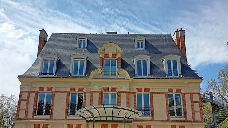
Photo
Where is located Parc Heller
Parc Heller — local attraction, which is located at Rue Gérard de Nerval, 92160 Antony, France and belongs to the category — park. Average visitor rating for this place — 4.4 (according to 1586 ratings, information from open sources and relevant for 2022).
Exact location — Parc Heller, marked on the map with a red marker.
You can get directions to Parc Heller on the map from your location.
What else is interesting in Fresnes? You can see all the sights if you go to the city page.
Coordinates
Parc Heller, France coordinates in decimal format: latitude — 48.7465488067947, longitude — 2.289853098036949. When converted to degrees, minutes, seconds Parc Heller has the following coordinates: 48°44′47.58 north latitude and 2°17′23.47 east longitude.
Nearby cities
The largest cities that are located nearby:
- Boulogne-Billancourt — 11 km
- Orléans — 99 km
- Rouen — 116 km
- Amiens — 126 km
- Reims — 135 km
- Le Mans — 178 km
- Le Havre — 179 km
- Tours — 194 km
- Caen — 201 km
- Lille — 213 km
- Charleroi
 (Belgium) — 236 km
 - Dijon — 258 km
- Angers — 258 km
- Namur (Belgium) — 260 km
- Eastbourne
 (United Kingdom) — 264 km
 - Brussels (Belgium) — 271 km
- Metz — 281 km
- Nancy — 282 km
- Rennes — 304 km
Distance to the capital
Distance to the capital (Paris) is about — 13 km.