
 Maureville
Samoëns
Gréning
Toulouse
Volx
Goudet
Méhoncourt
Saint-Hymer
Pontcarré
Maureville
Samoëns
Gréning
Toulouse
Volx
Goudet
Méhoncourt
Saint-Hymer
Pontcarré
Zone humide de Langazel on the map, Landerneau, France
Photo
Where is located Zone humide de Langazel
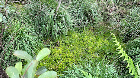
Zone humide de Langazel — local attraction, which is located at Unnamed Road, 29800 Trémaouézan, France and belongs to the category — nature preserve. Average visitor rating for this place — 4.5 (according to 2 ratings, information from open sources and relevant for 2022).
Exact location — Zone humide de Langazel, marked on the map with a red marker.
You can get directions to Zone humide de Langazel on the map from your location.
What else is interesting in Landerneau? You can see all the sights if you go to the city page.
Coordinates
Zone humide de Langazel, France coordinates in decimal format: latitude — 48.508745939691806, longitude — -4.27476190197145. When converted to degrees, minutes, seconds Zone humide de Langazel has the following coordinates: 48°30′31.49 north latitude and -4°16′29.14 east longitude.
Nearby cities
The largest cities that are located nearby:
- Brest — 19 km
- Rennes — 193 km
- Nantes — 244 km
- Exeter
 (United Kingdom) — 256 km
 - Caen — 292 km
- Angers — 296 km
- Bournemouth (United Kingdom) — 301 km
- Le Mans — 333 km
- Le Havre — 333 km
- Southampton (United Kingdom) — 336 km
- Portsmouth (United Kingdom) — 343 km
- Bristol (Great Britain) — 351 km
- Swindon (United Kingdom) — 383 km
- Tours — 387 km
- Rouen — 400 km
- Reading (United Kingdom) — 401 km
- Crawley (United Kingdom) — 407 km
- Eastbourne (United Kingdom) — 408 km
- Cheltenham (United Kingdom) — 409 km
Distance to the capital
Distance to the capital (Paris) is about — 488 km.