
 Maureville
Samoëns
Gréning
Toulouse
Volx
Goudet
Méhoncourt
Saint-Hymer
Pontcarré
Maureville
Samoëns
Gréning
Toulouse
Volx
Goudet
Méhoncourt
Saint-Hymer
Pontcarré
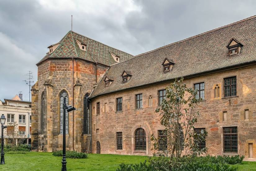
Unterlinden Museum on the map, Colmar, France
Photo
Where is located Unterlinden Museum
Unterlinden Museum — local attraction, which is located at Pl. des Unterlinden, 68000 Colmar, France and belongs to the category — museum. Average visitor rating for this place — 4.5 (according to 2657 ratings, information from open sources and relevant for 2022).
Exact location — Unterlinden Museum, marked on the map with a red marker.
You can get directions to Unterlinden Museum on the map from your location.
What else is interesting in Colmar? You can see all the sights if you go to the city page.
Coordinates
Unterlinden Museum, France coordinates in decimal format: latitude — 48.079497339616566, longitude — 7.355995898013489. When converted to degrees, minutes, seconds Unterlinden Museum has the following coordinates: 48°4′46.19 north latitude and 7°21′21.59 east longitude.
Nearby cities
The largest cities that are located nearby:
- Mulhouse — 36 km
- Freiburg
 (Germany) — 37 km
 - Basel
 (Switzerland) — 59 km
 - Strasbourg — 62 km
- Nancy — 109 km
- Zurich (Switzerland) — 118 km
- Bern (Switzerland) — 125 km
- Karlsruhe (Germany) — 128 km
- Saarbrücken (Germany) — 131 km
- Pforzheim (Germany) — 132 km
- Besançon — 137 km
- Reutlingen (Germany) — 143 km
- Metz — 143 km
- Stuttgart (Germany) — 154 km
- Ludwigshafen (Germany) — 173 km
- Heidelberg (Germany) — 174 km
- Mannheim (Germany) — 175 km
- Heilbronn (Germany) — 178 km
- Lausanne (Switzerland) — 181 km
Distance to the capital
Distance to the capital (Paris) is about — 379 km.