
 Maureville
Samoëns
Gréning
Toulouse
Volx
Goudet
Méhoncourt
Saint-Hymer
Pontcarré
Maureville
Samoëns
Gréning
Toulouse
Volx
Goudet
Méhoncourt
Saint-Hymer
Pontcarré
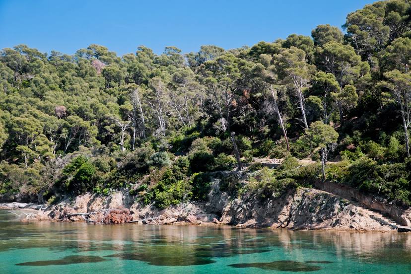
Port-Cros National Park on the map, Hyères, France
Photo
Where is located Port-Cros National Park
Port-Cros National Park — local attraction, which is located at 83400 Hyères, France and belongs to the category — national park. Average visitor rating for this place — 4.7 (according to 2988 ratings, information from open sources and relevant for 2022).
Exact location — Port-Cros National Park, marked on the map with a red marker.
You can get directions to Port-Cros National Park on the map from your location.
What else is interesting in Hyères? You can see all the sights if you go to the city page.
Coordinates
Port-Cros National Park, France coordinates in decimal format: latitude — 43.00409314890601, longitude — 6.396189697843319. When converted to degrees, minutes, seconds Port-Cros National Park has the following coordinates: 43°0′14.74 north latitude and 6°23′46.28 east longitude.
Nearby cities
The largest cities that are located nearby:
- Toulon — 16 km
- Marseille — 64 km
- Aix-en-Provence — 71 km
- Nice — 112 km
- Nimes — 162 km
- Montpellier — 188 km
- Grenoble — 231 km
- Turin
 (Italy) — 248 km
 - Genoa (Italy) — 264 km
- Perpignan — 267 km
- Saint-Étienne — 290 km
- Villeurbanne — 308 km
- Lyon — 309 km
- Novara (Italy) — 322 km
- Sassari (Italy) — 334 km
- Livorno (Italy) — 338 km
- Geneva
 (Switzerland) — 340 km
 - Milan (Italy) — 351 km
- Mataró
 (Spain) — 352 km
Distance to the capital
Distance to the capital (Paris) is about — 722 km.