
 Maureville
Samoëns
Gréning
Toulouse
Volx
Goudet
Méhoncourt
Saint-Hymer
Pontcarré
Maureville
Samoëns
Gréning
Toulouse
Volx
Goudet
Méhoncourt
Saint-Hymer
Pontcarré
Forêt domaniale de Meudon on the map, Le Plessis-Robinson, France
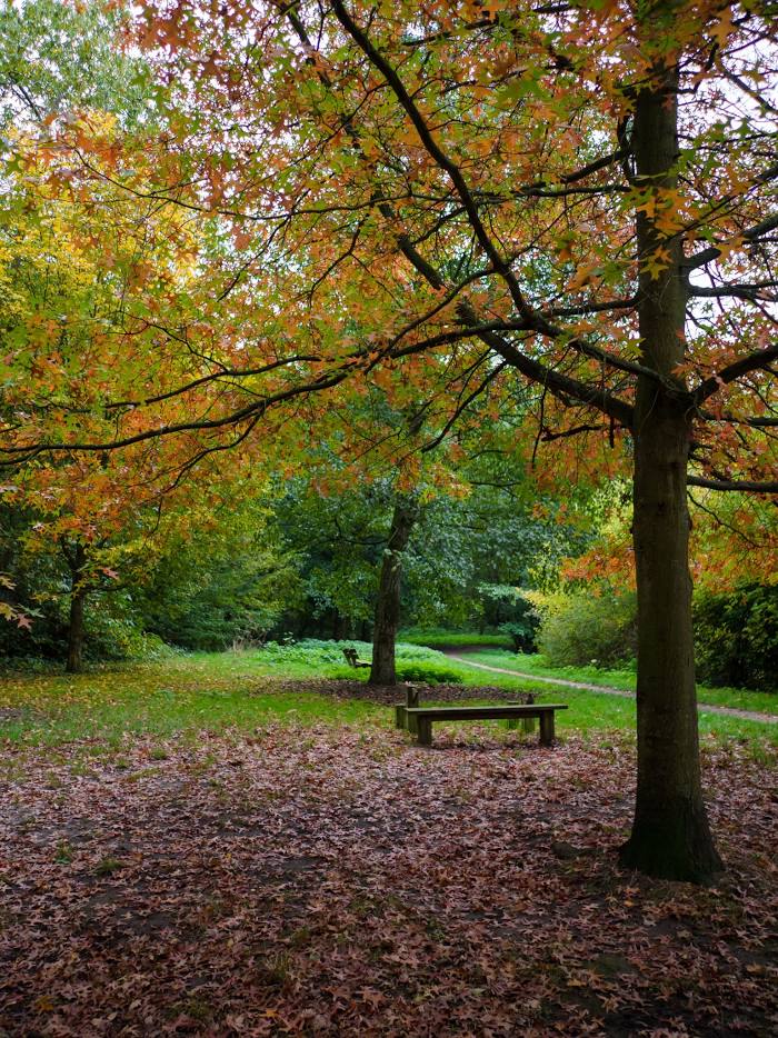
Photo
Where is located Forêt domaniale de Meudon
Forêt domaniale de Meudon — local attraction, which is located at France and belongs to the category — national forest. Average visitor rating for this place — 4.4 (according to 4363 ratings, information from open sources and relevant for 2022).
Exact location — Forêt domaniale de Meudon, marked on the map with a red marker.
You can get directions to Forêt domaniale de Meudon on the map from your location.
What else is interesting in Le Plessis-Robinson? You can see all the sights if you go to the city page.
Coordinates
Forêt domaniale de Meudon, France coordinates in decimal format: latitude — 48.7958151414905, longitude — 2.2095492980386755. When converted to degrees, minutes, seconds Forêt domaniale de Meudon has the following coordinates: 48°47′44.93 north latitude and 2°12′34.38 east longitude.
Nearby cities
The largest cities that are located nearby:
- Boulogne-Billancourt — 7 km
- Orléans — 101 km
- Rouen — 111 km
- Amiens — 123 km
- Reims — 138 km
- Le Havre — 174 km
- Le Mans — 175 km
- Tours — 194 km
- Caen — 196 km
- Lille — 212 km
- Charleroi
 (Belgium) — 237 km
 - Angers — 256 km
- Eastbourne
 (United Kingdom) — 260 km
 - Namur (Belgium) — 262 km
- Dijon — 263 km
- Brussels (Belgium) — 271 km
- Metz — 285 km
- Nancy — 286 km
- Rennes — 300 km
Distance to the capital
Distance to the capital (Paris) is about — 12 km.