
 Maureville
Samoëns
Gréning
Toulouse
Volx
Goudet
Méhoncourt
Saint-Hymer
Pontcarré
Maureville
Samoëns
Gréning
Toulouse
Volx
Goudet
Méhoncourt
Saint-Hymer
Pontcarré
FRAC Auvergne on the map, Chamalières, France
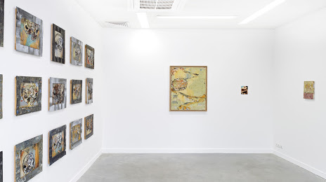
Photo
Where is located FRAC Auvergne
FRAC Auvergne — local attraction, which is located at 6 Rue du Terrail, 63000 Clermont-Ferrand, France and belongs to the category — art museum. Average visitor rating for this place — 4.5 (according to 231 rating, information from open sources and relevant for 2022).
Exact location — FRAC Auvergne, marked on the map with a red marker.
You can get directions to FRAC Auvergne on the map from your location.
What else is interesting in Chamalières? You can see all the sights if you go to the city page.
Coordinates
FRAC Auvergne, France coordinates in decimal format: latitude — 45.77841056578014, longitude — 3.0867459979345053. When converted to degrees, minutes, seconds FRAC Auvergne has the following coordinates: 45°46′42.28 north latitude and 3°5′12.29 east longitude.
Nearby cities
The largest cities that are located nearby:
- Clermont-Ferrand — 2 km
- Saint-Étienne — 109 km
- Lyon — 137 km
- Limoges — 139 km
- Villeurbanne — 141 km
- Grenoble — 217 km
- Dijon — 227 km
- Nimes — 238 km
- Geneva
 (Switzerland) — 240 km
 - Montpellier — 248 km
- Orléans — 250 km
- Tours — 252 km
- Toulouse — 273 km
- Besançon — 275 km
- Lausanne (Switzerland) — 284 km
- Bordeaux — 304 km
- Aix-en-Provence — 313 km
- Le Mans — 325 km
- Angers — 330 km
Distance to the capital
Distance to the capital (Paris) is about — 347 km.