
 Maureville
Samoëns
Gréning
Toulouse
Volx
Goudet
Méhoncourt
Saint-Hymer
Pontcarré
Maureville
Samoëns
Gréning
Toulouse
Volx
Goudet
Méhoncourt
Saint-Hymer
Pontcarré
Nièvre on the map, Nevers, France
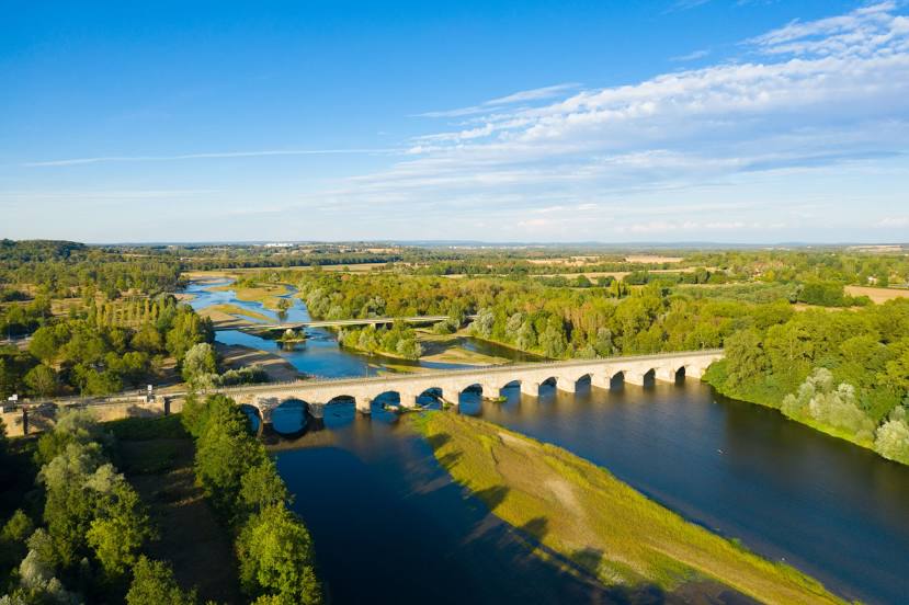
Photo
Where is located Nièvre
Nièvre — local attraction, which is located at 50 km and belongs to the category — -. Average visitor rating for this place — 4.2 (according to 61 rating, information from open sources and relevant for 2022).
Exact location — Nièvre, marked on the map with a red marker.
You can get directions to Nièvre on the map from your location.
What else is interesting in Nevers? You can see all the sights if you go to the city page.
Coordinates
Nièvre, France coordinates in decimal format: latitude — 46.98463563286904, longitude — 3.159770928482245. When converted to degrees, minutes, seconds Nièvre has the following coordinates: 46°59′4.69 north latitude and 3°9′35.18 east longitude.
Nearby cities
The largest cities that are located nearby:
- Clermont-Ferrand — 134 km
- Orléans — 137 km
- Dijon — 145 km
- Lyon — 187 km
- Villeurbanne — 189 km
- Tours — 191 km
- Limoges — 195 km
- Saint-Étienne — 196 km
- Boulogne-Billancourt — 215 km
- Besançon — 217 km
- Geneva
 (Switzerland) — 244 km
 - Le Mans — 246 km
- Reims — 258 km
- Lausanne (Switzerland) — 269 km
- Grenoble — 282 km
- Angers — 284 km
- Nancy — 290 km
- Rouen — 309 km
- Metz — 321 km
Distance to the capital
Distance to the capital (Paris) is about — 217 km.