
 Maureville
Samoëns
Gréning
Toulouse
Volx
Goudet
Méhoncourt
Saint-Hymer
Pontcarré
Maureville
Samoëns
Gréning
Toulouse
Volx
Goudet
Méhoncourt
Saint-Hymer
Pontcarré
Calais Town Hall on the map, Calais, France
Photo
Where is located Calais Town Hall
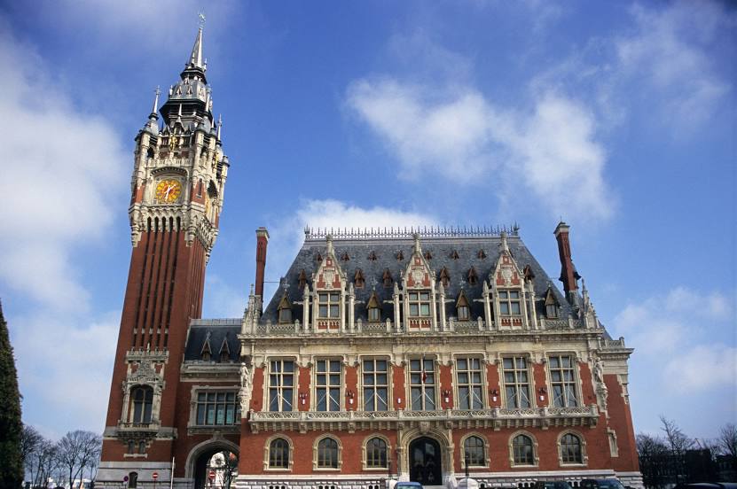
Calais Town Hall — local attraction, which is located at Pl. du Soldat Inconnu, 62100 Calais, France and belongs to the category — city or town hall. Average visitor rating for this place — 4.4 (according to 208 ratings, information from open sources and relevant for 2022).
Exact location — Calais Town Hall, marked on the map with a red marker.
You can get directions to Calais Town Hall on the map from your location.
What else is interesting in Calais? You can see all the sights if you go to the city page.
Coordinates
Calais Town Hall, France coordinates in decimal format: latitude — 50.95259208570099, longitude — 1.8544301981161766. When converted to degrees, minutes, seconds Calais Town Hall has the following coordinates: 50°57′9.33 north latitude and 1°51′15.95 east longitude.
Nearby cities
The largest cities that are located nearby:
- Lille — 91 km
- Gillingham
 (United Kingdom) — 102 km
 - Southend-on-Sea (United Kingdom) — 103 km
- Eastbourne (United Kingdom) — 112 km
- Basildon (United Kingdom) — 117 km
- Amiens — 121 km
- Chelmsford (United Kingdom) — 129 km
- Ipswich (United Kingdom) — 131 km
- Crawley (United Kingdom) — 143 km
- Sutton (United Kingdom) — 149 km
- London (United Kingdom) — 150 km
- Watford (United Kingdom) — 173 km
- Brussels
 (Belgium) — 174 km
 - Rouen — 175 km
- Antwerp (Belgium) — 179 km
- Slough (United Kingdom) — 180 km
- Cambridge (United Kingdom) — 182 km
- Luton (United Kingdom) — 186 km
- Norwich (United Kingdom) — 189 km
Distance to the capital
Distance to the capital (Paris) is about — 236 km.