
 Maureville
Samoëns
Gréning
Toulouse
Volx
Goudet
Méhoncourt
Saint-Hymer
Pontcarré
Maureville
Samoëns
Gréning
Toulouse
Volx
Goudet
Méhoncourt
Saint-Hymer
Pontcarré
Château de Malmaison on the map, Chatou, France
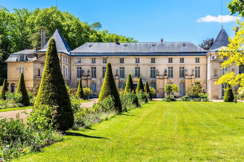
Photo
Where is located Château de Malmaison
Château de Malmaison — local attraction, which is located at Av. du Château de la Malmaison, 92500 Rueil-Malmaison, France and belongs to the category — castle. Average visitor rating for this place — 4.5 (according to 1229 ratings, information from open sources and relevant for 2022).
Exact location — Château de Malmaison, marked on the map with a red marker.
You can get directions to Château de Malmaison on the map from your location.
What else is interesting in Chatou? You can see all the sights if you go to the city page.
Coordinates
Château de Malmaison, France coordinates in decimal format: latitude — 48.87076479432372, longitude — 2.1668479980413347. When converted to degrees, minutes, seconds Château de Malmaison has the following coordinates: 48°52′14.75 north latitude and 2°10′0.65 east longitude.
Nearby cities
The largest cities that are located nearby:
- Boulogne-Billancourt — 9 km
- Rouen — 97 km
- Amiens — 111 km
- Orléans — 111 km
- Reims — 141 km
- Le Havre — 162 km
- Le Mans — 175 km
- Caen — 186 km
- Tours — 199 km
- Lille — 202 km
- Charleroi
 (Belgium) — 232 km
 - Eastbourne
 (United Kingdom) — 245 km
 - Angers — 257 km
- Namur (Belgium) — 258 km
- Brussels (Belgium) — 265 km
- Dijon — 277 km
- Metz — 292 km
- Crawley (United Kingdom) — 294 km
- Nancy — 295 km
Distance to the capital
Distance to the capital (Paris) is about — 14 km.