
 Maureville
Samoëns
Gréning
Toulouse
Volx
Goudet
Méhoncourt
Saint-Hymer
Pontcarré
Maureville
Samoëns
Gréning
Toulouse
Volx
Goudet
Méhoncourt
Saint-Hymer
Pontcarré
Des Flammes à La Lumière on the map, Verdun, France
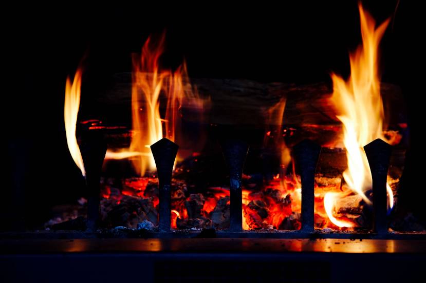
Photo
Where is located Des Flammes à La Lumière
Des Flammes à La Lumière — local attraction, which is located at Carrières d'Haudainville, 55100 Verdun, France and belongs to the category — event ticket seller. Average visitor rating for this place — 4.6 (according to 374 ratings, information from open sources and relevant for 2022).
Exact location — Des Flammes à La Lumière, marked on the map with a red marker.
You can get directions to Des Flammes à La Lumière on the map from your location.
What else is interesting in Verdun? You can see all the sights if you go to the city page.
Coordinates
Des Flammes à La Lumière, France coordinates in decimal format: latitude — 49.13884388379188, longitude — 5.415106998050835. When converted to degrees, minutes, seconds Des Flammes à La Lumière has the following coordinates: 49°8′19.84 north latitude and 5°24′54.39 east longitude.
Nearby cities
The largest cities that are located nearby:
- Metz — 57 km
- Nancy — 78 km
- Reims — 98 km
- Trier
 (Germany) — 111 km
 - Saarbrücken (Germany) — 117 km
- Namur
 (Belgium) — 149 km
 - Charleroi (Belgium) — 153 km
- Liège (Belgium) — 163 km
- Strasbourg — 185 km
- Aachen (Germany) — 185 km
- Maastricht
 (Netherlands) — 188 km
 - Brussels (Belgium) — 200 km
- Koblenz (Germany) — 204 km
- Dijon — 205 km
- Bonn (Germany) — 212 km
- Mulhouse — 213 km
- Besançon — 218 km
- Karlsruhe (Germany) — 220 km
- Freiburg (Germany) — 223 km
Distance to the capital
Distance to the capital (Paris) is about — 226 km.