
 Maureville
Samoëns
Gréning
Toulouse
Volx
Goudet
Méhoncourt
Saint-Hymer
Pontcarré
Maureville
Samoëns
Gréning
Toulouse
Volx
Goudet
Méhoncourt
Saint-Hymer
Pontcarré
L'Anguienne on the map, Angoulême, France
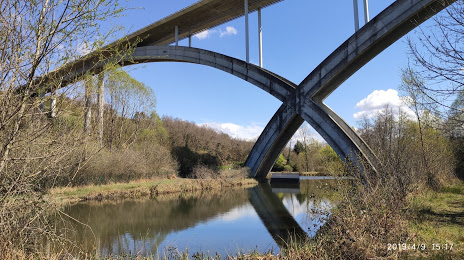
Photo
Where is located L'Anguienne
L'Anguienne — local attraction, which is located at Charente and belongs to the category — -. Average visitor rating for this place — 4.5 (according to 27 ratings, information from open sources and relevant for 2022).
Exact location — L'Anguienne, marked on the map with a red marker.
You can get directions to L'Anguienne on the map from your location.
What else is interesting in Angoulême? You can see all the sights if you go to the city page.
Coordinates
L'Anguienne, France coordinates in decimal format: latitude — 45.644599467069526, longitude — 0.14503752742091947. When converted to degrees, minutes, seconds L'Anguienne has the following coordinates: 45°38′40.56 north latitude and 0°8′42.14 east longitude.
Nearby cities
The largest cities that are located nearby:
- Limoges — 88 km
- Bordeaux — 107 km
- Tours — 197 km
- Angers — 209 km
- Nantes — 216 km
- Clermont-Ferrand — 226 km
- Toulouse — 248 km
- Le Mans — 261 km
- Orléans — 281 km
- Rennes — 305 km
- San Sebastián
 (Spain) — 310 km
 - Saint-Étienne — 329 km
- Pamplona (Spain) — 346 km
- Lyon — 361 km
- Bilbao (Spain) — 363 km
- Villeurbanne — 365 km
- Montpellier — 373 km
- Boulogne-Billancourt — 384 km
- Vitoria-Gasteiz (Spain) — 385 km
Distance to the capital
Distance to the capital (Paris) is about — 394 km.