
 Maureville
Samoëns
Gréning
Toulouse
Volx
Goudet
Méhoncourt
Saint-Hymer
Pontcarré
Maureville
Samoëns
Gréning
Toulouse
Volx
Goudet
Méhoncourt
Saint-Hymer
Pontcarré
Capo di Feno on the map, Ajaccio, France
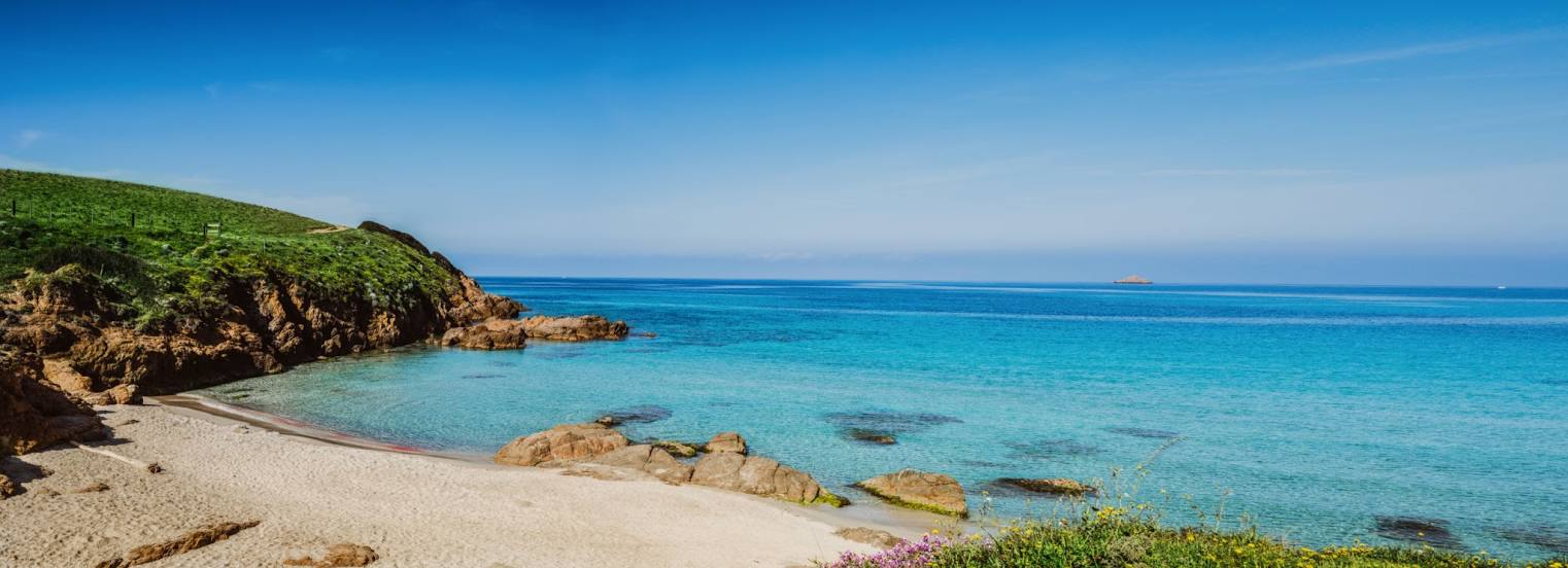
Photo
Where is located Capo di Feno
Capo di Feno — local attraction, which is located at no data and belongs to the category — -. Average visitor rating for this place — 4.6 (according to 55 ratings, information from open sources and relevant for 2022).
Exact location — Capo di Feno, marked on the map with a red marker.
You can get directions to Capo di Feno on the map from your location.
What else is interesting in Ajaccio? You can see all the sights if you go to the city page.
Coordinates
Capo di Feno, France coordinates in decimal format: latitude — 41.93765158525283, longitude — 8.622394570507474. When converted to degrees, minutes, seconds Capo di Feno has the following coordinates: 41°56′15.55 north latitude and 8°37′20.62 east longitude.
Nearby cities
The largest cities that are located nearby:
- Sassari
 (Italy) — 133 km
 - Livorno (Italy) — 220 km
- Nice — 231 km
- Toulon — 263 km
- Genoa (Italy) — 275 km
- Florence (Italy) — 287 km
- Prato (Italy) — 287 km
- Cagliari (Italy) — 300 km
- Rome (Italy) — 309 km
- Marseille — 311 km
- Aix-en-Provence — 318 km
- Perugia (Italy) — 323 km
- Terni (Italy) — 326 km
- Parma (Italy) — 342 km
- Modena (Italy) — 347 km
- Latina (Italy) — 349 km
- Bologna (Italy) — 351 km
- Turin (Italy) — 358 km
- Forli (Italy) — 365 km
Distance to the capital
Distance to the capital (Paris) is about — 911 km.