
 Maureville
Samoëns
Gréning
Toulouse
Volx
Goudet
Méhoncourt
Saint-Hymer
Pontcarré
Maureville
Samoëns
Gréning
Toulouse
Volx
Goudet
Méhoncourt
Saint-Hymer
Pontcarré
Paillon on the map, Carros, France
Photo
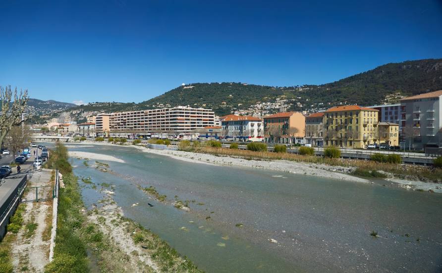
Where is located Paillon
Paillon — local attraction, which is located at 36 km and belongs to the category — -. Average visitor rating for this place — 3.9 (according to 13 ratings, information from open sources and relevant for 2022).
Exact location — Paillon, marked on the map with a red marker.
You can get directions to Paillon on the map from your location.
What else is interesting in Carros? You can see all the sights if you go to the city page.
Coordinates
Paillon, France coordinates in decimal format: latitude — 43.76873795028848, longitude — 7.194701998026383. When converted to degrees, minutes, seconds Paillon has the following coordinates: 43°46′7.46 north latitude and 7°11′40.93 east longitude.
Nearby cities
The largest cities that are located nearby:
- Nice — 11 km
- Toulon — 126 km
- Aix-en-Provence — 142 km
- Turin
 (Italy) — 147 km
 - Genoa (Italy) — 155 km
- Marseille — 156 km
- Grenoble — 192 km
- Novara (Italy) — 214 km
- Nimes — 226 km
- Milan (Italy) — 241 km
- Livorno (Italy) — 252 km
- Monza (Italy) — 256 km
- Montpellier — 266 km
- Parma (Italy) — 270 km
- Geneva
 (Switzerland) — 278 km
 - Villeurbanne — 282 km
- Saint-Étienne — 283 km
- Lyon — 284 km
- Bergamo (Italy) — 285 km
Distance to the capital
Distance to the capital (Paris) is about — 677 km.