
 Maureville
Samoëns
Gréning
Toulouse
Volx
Goudet
Méhoncourt
Saint-Hymer
Pontcarré
Maureville
Samoëns
Gréning
Toulouse
Volx
Goudet
Méhoncourt
Saint-Hymer
Pontcarré
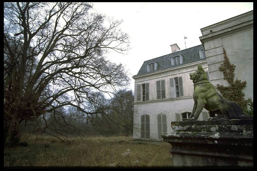
Castle of Louveciennes on the map, Le Vésinet, France
Photo
Where is located Castle of Louveciennes
Castle of Louveciennes — local attraction, which is located at 78430 Louveciennes, France and belongs to the category — palace. Average visitor rating for this place — 4.3 (according to 33 ratings, information from open sources and relevant for 2022).
Exact location — Castle of Louveciennes, marked on the map with a red marker.
You can get directions to Castle of Louveciennes on the map from your location.
What else is interesting in Le Vésinet? You can see all the sights if you go to the city page.
Coordinates
Castle of Louveciennes, France coordinates in decimal format: latitude — 48.8669821314946, longitude — 2.1187439981996152. When converted to degrees, minutes, seconds Castle of Louveciennes has the following coordinates: 48°52′1.14 north latitude and 2°7′7.48 east longitude.
Nearby cities
The largest cities that are located nearby:
- Boulogne-Billancourt — 10 km
- Rouen — 96 km
- Orléans — 111 km
- Amiens — 111 km
- Reims — 143 km
- Le Havre — 160 km
- Le Mans — 174 km
- Caen — 184 km
- Tours — 198 km
- Lille — 202 km
- Charleroi
 (Belgium) — 234 km
 - Eastbourne
 (United Kingdom) — 244 km
 - Angers — 255 km
- Namur (Belgium) — 260 km
- Brussels (Belgium) — 266 km
- Dijon — 279 km
- Crawley (United Kingdom) — 293 km
- Metz — 293 km
- Rennes — 294 km
Distance to the capital
Distance to the capital (Paris) is about — 17 km.