Vallejo — El Dorado
Vallejo — Los Angeles
Vallejo — Winchester
Vallejo — Bejou
Vallejo — Somerton
Vallejo — Muncie
Vallejo — Des Arc
Vallejo — Batesville
Vallejo — Clovis
Vallejo — Traphill
Vallejo — Tiflis
Vallejo — Walkerton
Vallejo — Bernardston
Vallejo — Lamartine
Vallejo — Buhler
Vallejo — Bodfish
Vallejo — Avera
Vallejo — Roaring Springs
Vallejo — Spicewood
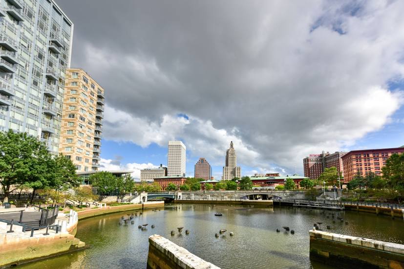
Vallejo — Providence distance, route on the map
Distance by car
Distance between Vallejo, California, United States and Providence, Rhode Island, United States by car is — km, or miles. To travel this distance by car, you need minute, or h.
Route on the map, driving directions
Car route Vallejo — Providence was created automatically. The road on the map is shown as a blue line. By moving the markers, you can create a new route through the points you need.
Distance by plane
If you decide to take a trip Vallejo Providence by plane, then you have to fly the distance — 4291 km or 2660 miles. It is marked on the map with a gray line (between two points in a straight line).
Flight time
Estimated flight time Vallejo Providence by plane at cruising speed 750 km / h will be — 5 h. and 43 min.
Direction of movement
United States, Vallejo — right-hand traffic. United States, Providence — right-hand traffic.
Difference in time
Vallejo and Providence are in different time zones. The time difference is 3 hours (UTC -7 America/Los_Angeles, UTC -4 America/New_York).
Interesting Facts
Information on alternative ways to get to your destination.
The length of this distance is about 10.7% of the total length of the equator.
The percentage of the population is clearly shown in the graph:
Vallejo — 120,446 (less by 57,149), Providence — 177,595 residents.
The cost of travel
Calculate the cost of the trip yourself using the fuel consumption calculator, changing the data in the table.
Calculate the cost of other distances from the starting point — Vallejo.