
 Maureville
Samoëns
Gréning
Toulouse
Volx
Goudet
Méhoncourt
Saint-Hymer
Pontcarré
Maureville
Samoëns
Gréning
Toulouse
Volx
Goudet
Méhoncourt
Saint-Hymer
Pontcarré
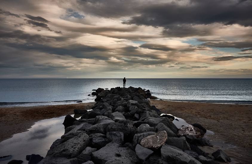
Plage Baleine on the map, Sète, France
Photo
Where is located Plage Baleine
Plage Baleine — local attraction, which is located at no data and belongs to the category — -. Average visitor rating for this place — 4.4 (according to 540 ratings, information from open sources and relevant for 2022).
Exact location — Plage Baleine, marked on the map with a red marker.
You can get directions to Plage Baleine on the map from your location.
What else is interesting in Sète? You can see all the sights if you go to the city page.
Coordinates
Plage Baleine, France coordinates in decimal format: latitude — 43.38387043867817, longitude — 3.640719674736561. When converted to degrees, minutes, seconds Plage Baleine has the following coordinates: 43°23′1.93 north latitude and 3°38′26.59 east longitude.
Nearby cities
The largest cities that are located nearby:
- Montpellier — 26 km
- Nimes — 71 km
- Perpignan — 103 km
- Marseille — 135 km
- Aix-en-Provence — 141 km
- Toulouse — 182 km
- Toulon — 182 km
- Saint-Étienne — 231 km
- Mataró
 (Spain) — 231 km
 - Sabadell (Spain) — 244 km
- Terrassa (Spain) — 247 km
- Badalona (Spain) — 248 km
- Santa Coloma de Gramenet (Spain) — 250 km
- Grenoble — 252 km
- L'Hospitalet de Llobregat (Spain) — 261 km
- Clermont-Ferrand — 266 km
- Lyon — 275 km
- Villeurbanne — 277 km
- Nice — 287 km
Distance to the capital
Distance to the capital (Paris) is about — 617 km.