
 Maureville
Samoëns
Gréning
Toulouse
Volx
Goudet
Méhoncourt
Saint-Hymer
Pontcarré
Maureville
Samoëns
Gréning
Toulouse
Volx
Goudet
Méhoncourt
Saint-Hymer
Pontcarré
Castle of Villiers on the map, Grigny, France
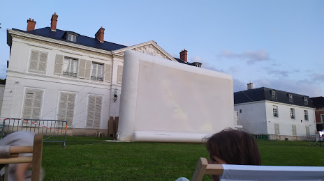
Photo
Where is located Castle of Villiers
Castle of Villiers — local attraction, which is located at 3 Av. de Villiers, 91210 Draveil, France and belongs to the category — castle. Average visitor rating for this place — 4.8 (according to 16 ratings, information from open sources and relevant for 2022).
Exact location — Castle of Villiers, marked on the map with a red marker.
You can get directions to Castle of Villiers on the map from your location.
What else is interesting in Grigny? You can see all the sights if you go to the city page.
Coordinates
Castle of Villiers, France coordinates in decimal format: latitude — 48.553747766453135, longitude — 2.3059069480544143. When converted to degrees, minutes, seconds Castle of Villiers has the following coordinates: 48°33′13.49 north latitude and 2°18′21.27 east longitude.
Nearby cities
The largest cities that are located nearby:
- Boulogne-Billancourt — 23 km
- Orléans — 90 km
- Rouen — 127 km
- Reims — 136 km
- Amiens — 137 km
- Le Mans — 177 km
- Le Havre — 188 km
- Tours — 189 km
- Caen — 207 km
- Lille — 223 km
- Charleroi
 (Belgium) — 242 km
 - Dijon — 248 km
- Angers — 256 km
- Namur (Belgium) — 266 km
- Eastbourne
 (United Kingdom) — 276 km
 - Nancy — 277 km
- Brussels (Belgium) — 279 km
- Metz — 279 km
- Rennes — 306 km
Distance to the capital
Distance to the capital (Paris) is about — 34 km.