Riverdale — North Falmouth
Riverdale — Wayne County
Riverdale — Evergreen
Riverdale — Wrangell
Riverdale — Ortley
Riverdale — Norwell
Riverdale — Vallecito
Riverdale — Angora
Riverdale — Unadilla
Riverdale — Pineview
Riverdale — Manitou Beach-Devils Lake
Riverdale — Daisetta
Riverdale — Lantana
Riverdale — Westminster
Riverdale — Sandberg
Riverdale — Marvin
Riverdale — Orma
Riverdale — Melvin
Riverdale — Van Orin
Conley
DeKalb County
Tucker
Chamblee
1708
Norcross
Duluth
Suwanee
Buford
Hoschton
Braselton
Pendergrass
Jefferson
Carnesville
Lavonia
Townville
La France
Pelzer
Greenville
Gantt
Mauldin
Saxon
Boiling Springs
Spartanburg
Gaffney
Grover
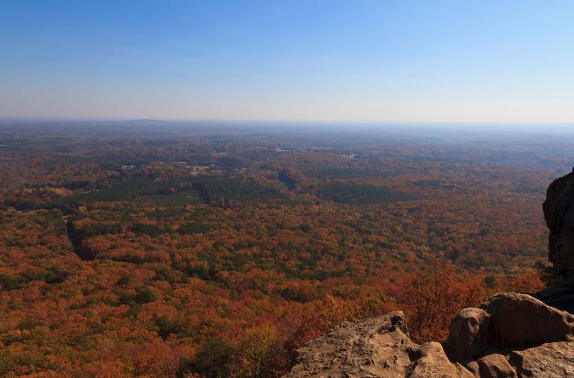
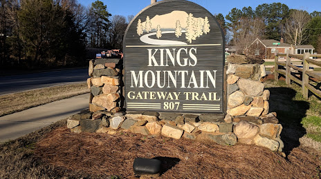
Riverdale — Kings Mountain distance, route on the map
Distance by car
Distance between Riverdale, Georgia, United States and Kings Mountain, North Carolina, United States by car is — km, or miles. To travel this distance by car, you need minute, or h.
Route on the map, driving directions
Car route Riverdale — Kings Mountain was created automatically. The road on the map is shown as a blue line. By moving the markers, you can create a new route through the points you need.
Passing cities through which the car route passes: Forest Park, Conley, DeKalb County, Tucker, Chamblee, 1708, Norcross, Duluth, Suwanee, Buford, Hoschton, Braselton, Pendergrass, Jefferson, Carnesville, Lavonia, Townville, La France, Pelzer, Greenville, Gantt, Mauldin, Saxon, Boiling Springs, Spartanburg, Gaffney, Grover.
Distance by plane
If you decide to take a trip Riverdale Kings Mountain by plane, then you have to fly the distance — 338 km or 210 miles. It is marked on the map with a gray line (between two points in a straight line).
Flight time
Estimated flight time Riverdale Kings Mountain by plane at cruising speed 750 km / h will be — 27 min.
Direction of movement
United States, Riverdale — right-hand traffic. United States, Kings Mountain — right-hand traffic.
Difference in time
Riverdale and Kings Mountain are in the same time zone. Between them there is no time difference (UTC -4 America/New_York).
Interesting Facts
Information on alternative ways to get to your destination.
The length of this distance is about 0.8% of the total length of the equator.
The percentage of the population is clearly shown in the graph:
Riverdale — 16,090, Kings Mountain — 10,638 residents (less by 5,452).
The cost of travel
Calculate the cost of the trip yourself using the fuel consumption calculator, changing the data in the table.