Alameda — Lakeville
Alameda — Aroma Park
Alameda — Earth
Alameda — Gunnison
Alameda — Old Saybrook
Alameda — Windthorst
Alameda — Kilgore
Alameda — Knoxville
Alameda — Grovetown
Alameda — Hayward
Alameda — Chetek
Alameda — Buckfield
Alameda — Jermyn
Alameda — King and Queen County
Alameda — Mackinaw City
Alameda — Chicago
Alameda — Perkinsville
Alameda — Perryopolis
Alameda — Carthage
San Leandro
San Lorenzo
Castro Valley
Dublin
Asco
Livermore
Tracy
Westley
Patterson
Volta
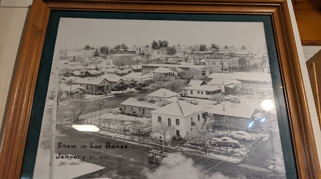
Alameda — Los Banos distance, route on the map
Distance by car
Distance between Alameda, California, United States and Los Banos, California, United States by car is — km, or miles. To travel this distance by car, you need minute, or h.
Route on the map, driving directions
Car route Alameda — Los Banos was created automatically. The road on the map is shown as a blue line. By moving the markers, you can create a new route through the points you need.
Passing cities through which the car route passes: Oakland International Airport, San Leandro, San Lorenzo, Castro Valley, Dublin, Asco, Livermore, Tracy, Westley, Patterson, Volta.
Distance by plane
If you decide to take a trip Alameda Los Banos by plane, then you have to fly the distance — 146 km or 91 miles. It is marked on the map with a gray line (between two points in a straight line).
Flight time
Estimated flight time Alameda Los Banos by plane at cruising speed 750 km / h will be — 11 min.
Direction of movement
United States, Alameda — right-hand traffic. United States, Los Banos — right-hand traffic.
Difference in time
Alameda and Los Banos are in the same time zone. Between them there is no time difference (UTC -7 America/Los_Angeles).
Interesting Facts
Information on alternative ways to get to your destination.
The length of this distance is about 0.4% of the total length of the equator.
The percentage of the population is clearly shown in the graph:
Alameda — 70,443, Los Banos — 33,317 residents (less by 37,126).
The cost of travel
Calculate the cost of the trip yourself using the fuel consumption calculator, changing the data in the table.