 Vicksburg
Newkirk
North Chicago
Katonah
Elmsford
Mason
Skaneateles Falls
Palisades
West Lafayette
Kaufman
Erlanger
Texarkana
Paris
San Francisco
Buhler
Hazard
Huger
Burnet
Weedsport
Vicksburg
Newkirk
North Chicago
Katonah
Elmsford
Mason
Skaneateles Falls
Palisades
West Lafayette
Kaufman
Erlanger
Texarkana
Paris
San Francisco
Buhler
Hazard
Huger
Burnet
Weedsport
Stony Point on the map, United States
Where is located Stony Point
Exact location — Stony Point, Rockland County, New York, United States, marked on the map with a red marker.
Coordinates
Stony Point, United States coordinates in decimal format: latitude — 41.2295386, longitude — -73.9870847. When converted to degrees, minutes, seconds Stony Point has the following coordinates: 41°13′46.34 north latitude and -73°59′13.5 east longitude.
Population
Stony Point, Rockland County, New York, United States, according to our data the population is — 12,234 residents, which is about 0% of the total population of the country (United States).
Comparison of the population on the graph:
Exact time
Time zone for this location Stony Point — UTC -4 America/New_York. Exact time — friday, 4 april 2024 year, 15 h. 16 minutes.
Sunrise and sunset
Stony Point, sunrise and sunset data for a date — friday 26.04.2024.
| Sunrise | Sunset | Day (duration) |
|---|---|---|
| 06:02 -1 minute | 19:44 +1 minute | 13 h. 42 minutes. +2 minutes |
You can control the scale of the map using the auxiliary tools to find out exactly where it is located Stony Point. When you change the scale of the map, the width of the ruler also changes (in kilometers and miles).
Nearby cities
The largest cities that are located nearby:
- Yonkers — 34 km
- Paterson — 38 km
- Stamford — 42 km
- Newark — 57 km
- New York — 57 km
- Brooklyn — 59 km
- Elizabeth — 65 km
- Bridgeport — 66 km
- Waterbury — 86 km
- Edison — 86 km
- New Haven — 88 km
- Hartford — 123 km
- Toms River — 142 km
- Allentown — 144 km
- Springfield — 150 km
- Philadelphia — 173 km
- Amherst — 173 km
- Worcester — 212 km
- Providence — 222 km
Distance to neighboring capitals:
- Ottawa
 (Canada) — 486 km
 - Nuuk
 (Greenland) — 2925 km
 - Belmopan
 (Belize) — 3018 km
 - Guatemala City
 (Guatemala) — 3364 km
 - Mexico City
 (Mexico) — 3397 km
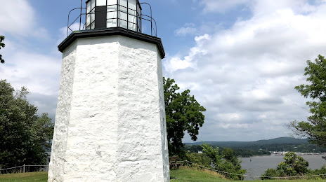
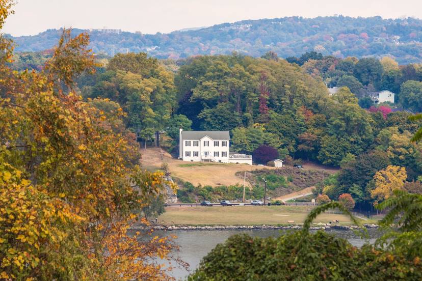
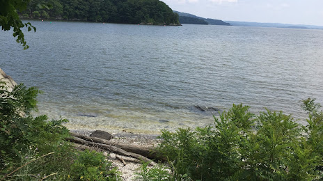
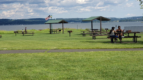
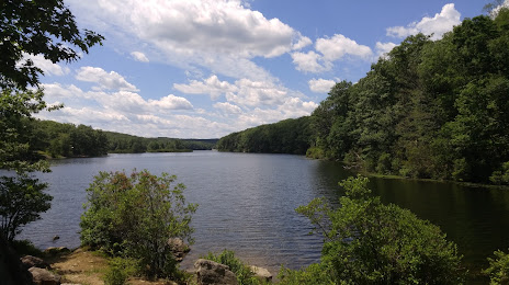
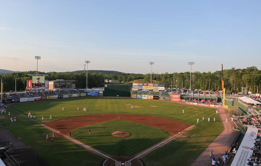
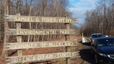
Attractions


Distance to the capital
Distance to the capital (Washington) is about — 366 km.