
 Maureville
Samoëns
Gréning
Toulouse
Volx
Goudet
Méhoncourt
Saint-Hymer
Pontcarré
Maureville
Samoëns
Gréning
Toulouse
Volx
Goudet
Méhoncourt
Saint-Hymer
Pontcarré
Parc de la Butte Verte on the map, Champs-sur-Marne, France
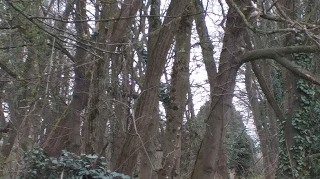
Photo
Where is located Parc de la Butte Verte
Parc de la Butte Verte — local attraction, which is located at All. de la Noiseraie, 93160 Noisy-le-Grand, France and belongs to the category — city park. Average visitor rating for this place — 4.1 (according to 83 ratings, information from open sources and relevant for 2022).
Exact location — Parc de la Butte Verte, marked on the map with a red marker.
You can get directions to Parc de la Butte Verte on the map from your location.
What else is interesting in Champs-sur-Marne? You can see all the sights if you go to the city page.
Coordinates
Parc de la Butte Verte, France coordinates in decimal format: latitude — 48.839280572122526, longitude — 2.579208498040228. When converted to degrees, minutes, seconds Parc de la Butte Verte has the following coordinates: 48°50′21.41 north latitude and 2°34′45.15 east longitude.
Nearby cities
The largest cities that are located nearby:
- Boulogne-Billancourt — 26 km
- Reims — 112 km
- Orléans — 117 km
- Amiens — 117 km
- Rouen — 126 km
- Le Havre — 193 km
- Lille — 199 km
- Le Mans — 201 km
- Charleroi
 (Belgium) — 216 km
 - Tours — 216 km
- Caen — 218 km
- Namur (Belgium) — 240 km
- Dijon — 249 km
- Brussels (Belgium) — 252 km
- Metz — 260 km
- Nancy — 262 km
- Eastbourne
 (United Kingdom) — 266 km
 - Angers — 281 km
- Liège (Belgium) — 287 km
Distance to the capital
Distance to the capital (Paris) is about — 17 km.