
 Maureville
Samoëns
Gréning
Toulouse
Volx
Goudet
Méhoncourt
Saint-Hymer
Pontcarré
Maureville
Samoëns
Gréning
Toulouse
Volx
Goudet
Méhoncourt
Saint-Hymer
Pontcarré
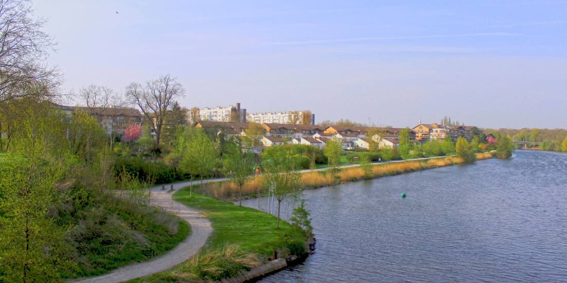
Canal de la Deûle on the map, Carvin, France
Photo
Where is located Canal de la Deûle
Canal de la Deûle — local attraction, which is located at Lys and belongs to the category — -. Average visitor rating for this place — 4.2 (according to 207 ratings, information from open sources and relevant for 2022).
Exact location — Canal de la Deûle, marked on the map with a red marker.
You can get directions to Canal de la Deûle on the map from your location.
What else is interesting in Carvin? You can see all the sights if you go to the city page.
Coordinates
Canal de la Deûle, France coordinates in decimal format: latitude — 50.489723181049044, longitude — 2.9515666105429244. When converted to degrees, minutes, seconds Canal de la Deûle has the following coordinates: 50°29′23 north latitude and 2°57′5.64 east longitude.
Nearby cities
The largest cities that are located nearby:
- Lille — 17 km
- Amiens — 81 km
- Brussels
 (Belgium) — 105 km
 - Charleroi (Belgium) — 105 km
- Antwerp (Belgium) — 128 km
- Namur (Belgium) — 135 km
- Reims — 157 km
- Breda
 (Netherlands) — 174 km
 - Rouen — 177 km
- Liège (Belgium) — 185 km
- Dordrecht (Netherlands) — 188 km
- Tilburg (Netherlands) — 188 km
- Eastbourne
 (United Kingdom) — 189 km
 - Rotterdam (Netherlands) — 189 km
- Boulogne-Billancourt — 190 km
- Gillingham (United Kingdom) — 193 km
- Southend-on-Sea (United Kingdom) — 194 km
- Maastricht (Netherlands) — 195 km
- The Hague (Netherlands) — 197 km
Distance to the capital
Distance to the capital (Paris) is about — 187 km.